Medium airport · Argentina

Las Heras AirportSAVH
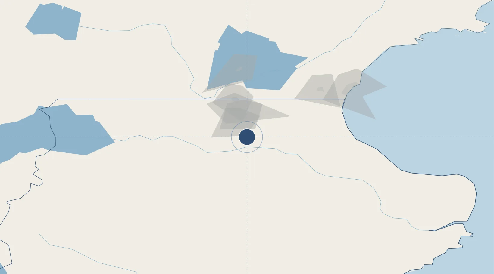
-46.5385°, -68.9653°
4,593 ft
Longest runway
1
Runways
1,082 ft
Elevation

Runway & Layout

Las Heras Airport runway & taxiway layout
Runway & taxiway layout — OpenStreetMap (ODbL) / OurAirports

Runways · 1

RunwayDimensions SurfaceTrue headingLit
9/27 4,593 × 56ft Asphalt 095°
OurAirports

Airport Specifications

IATA code
LHS
OurAirports
ICAO code
SAVH
OurAirports
Airport class
Medium airport
OurAirports
Scheduled service
Yes
OurAirports
Runway surface
Asphalt
OurAirports
Served city
Las Heras
OurAirports

Location

Location of SAVH
Natural Earth 10m (public domain) · Santa Cruz · SAVH · -46.54, -68.97GoogleOSMYandex

Nearby Logistics Neighbours

Airports
  1. 1General Enrique Mosconi International Airport143 km
  2. 2Perito Moreno Jalil Hamer Airport154 km
  3. 3Chile Chico Airport208 km
  4. 4Balmaceda Airport221 km
  5. 5Teniente Vidal Airport264 km
Nearest neighbours — logibook spatial index (haversine) over the source coordinates
Cities
  1. 1Pampa del Castillo107 km
  2. 2Caleta Córdoba172 km
  3. 3Puerto Deseado268 km
  4. 4Puerto Aisén316 km
  5. 5Chacabuco320 km
Nearest neighbours — logibook spatial index (haversine) over the source coordinates
Ports
  1. 1Comodoro Rivadavia137 km
  2. 2Puerto Deseado268 km
  3. 3Puerto Chacabuco322 km
  4. 4Puerto San Julian323 km
  5. 5Puerto Santa Cruz388 km
Nearest neighbours — logibook spatial index (haversine) over the source coordinates
Trade Zones
  1. 1La Zona Franca Santa Cruz (ZFSC) - Caleta Olivia111 km
  2. 2Comodoro Free Trade Zone128 km
  3. 3Comodoro Free Trade Zone Zona Franca Chubut135 km
  4. 4La Zona Franca Santa Cruz (ZFSC) - Río Gallegos575 km
  5. 5Punta Arenas Free Trade Zone746 km
Nearest neighbours — logibook spatial index (haversine) over the source coordinates
DatabookThe Record of Consolidated Knowledge
Argentina beyond logistics?
Browse databook

All Sources

AirportsOurAirports
Public domain
Portsthe NGA World Port Index
Public domain (US gov)
LocationsUN/LOCODE
UN/LOCODE — free
Trade Zonesthe World Bank SEZ database
CC BY 4.0
Trade ZonesOpen Zone Map
CC BY
InfrastructureOpenStreetMap
ODbL 1.0
← Argentina airports