Transport Functions
Port
Hub Profile
Place type
District seat
Region
Eastern Visayas
Population
17,495
Time zone
Asia/Manila
Elevation
5 m
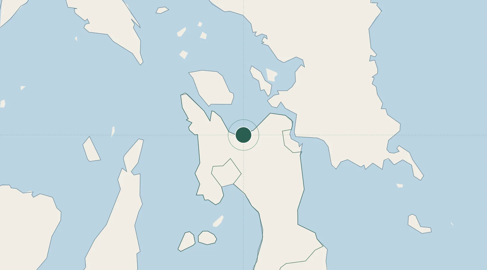
Location
Nearby Logistics Neighbours
Cities
- 1Capoocan4 km
- 2Leyte23 km
- 3Calubian, Leyte33 km
- 4Albuera38 km
- 5Bogo80 km
Airports
- 1Ormoc Airport30 km
- 2Daniel Z. Romualdez Airport38 km
- 3Calbayog Airport87 km
- 4Catarman National Airport134 km
- 5Mactan Cebu International Airport134 km
DatabookThe Record of Consolidated Knowledge
Philippines beyond logistics?