Specialized Zone · Philippines

Damosa I.T. Park Active
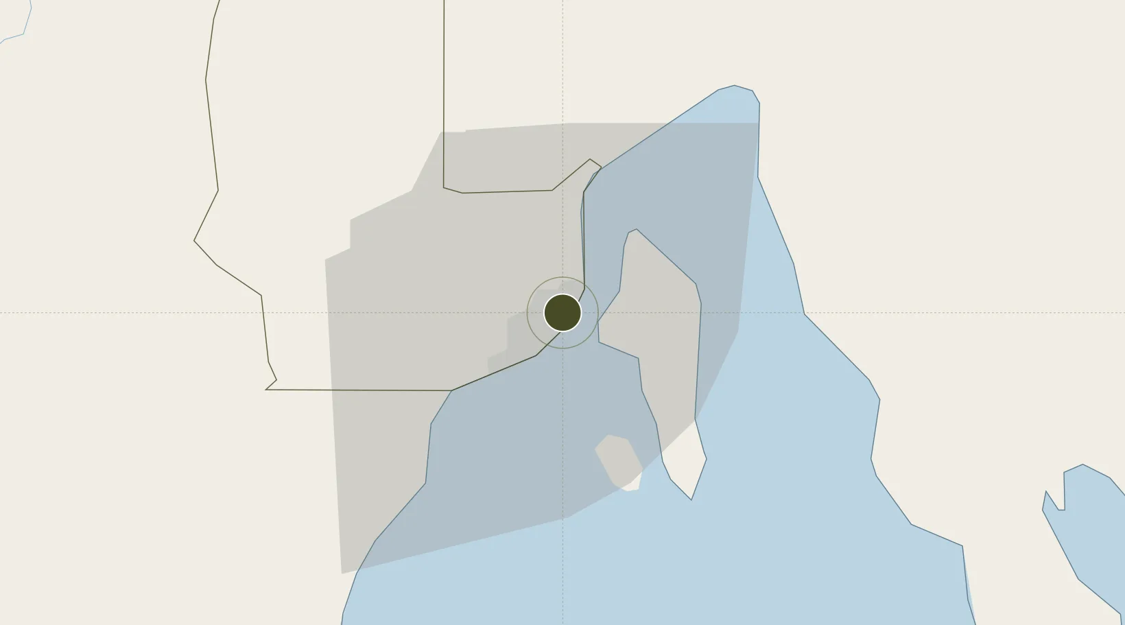
7.1027°, 125.6337°
2 ha
Zone area
4.4 km
Nearest port
2.9 km
Nearest airport

Gateway access

Nearest neighbours — logibook spatial index (haversine) over the source coordinates

Zone profile

Zone type
Specialized Zone
Open Zone Map
Specialization
IT
Open Zone Map
Region
Davao
Open Zone Map
Status
Active
Open Zone Map
Management
Private
Open Zone Map
Operator
Damosa Land, Inc.
Open Zone Map
Legal framework
Special Economic Zone Act (Republic Act No. 7916) (as amended by Republic Act No. 8748)
Open Zone Map

Location

Location of ozm-3733
Natural Earth 10m (public domain) · Davao · ozm-3733 · 7.10, 125.63GoogleOSMYandex

Nearby Logistics Neighbours

Ports
  1. 1Davao4 km
  2. 2Mati67 km
  3. 3General Santos120 km
  4. 4Mangagoy147 km
  5. 5Polloc (Cotabato)159 km
Nearest neighbours — logibook spatial index (haversine) over the source coordinates
Airports
  1. 1Francisco Bangoy International Airport3 km
  2. 2Mati National Airport73 km
  3. 3Central Mindanao Airport81 km
  4. 4Rajah Buayan Air Base119 km
  5. 5Allah Valley Airport127 km
Nearest neighbours — logibook spatial index (haversine) over the source coordinates
Cities
  1. 1Davao, Mindanao7 km
  2. 2DICT / SVT21 km
  3. 3Panabo23 km
  4. 4Astorga32 km
  5. 5Boston/Davao116 km
Nearest neighbours — logibook spatial index (haversine) over the source coordinates
Trade Zones
  1. 1Lanang Business Park0 km
  2. 2Hijo Special Economic Zone1 km
  3. 3Davao Park District1 km
  4. 4Abreeza Corporate Center 21 km
  5. 5Robinsons Cybergate Davao2 km
Nearest neighbours — logibook spatial index (haversine) over the source coordinates
DatabookThe Record of Consolidated Knowledge
Philippines beyond logistics?
Browse databook

All Sources

Trade ZonesOpen Zone Map
CC BY
Portsthe NGA World Port Index
Public domain (US gov)
AirportsOurAirports
Public domain
LocationsUN/LOCODE
UN/LOCODE — free
← Philippines trade zones