Specialized Zone · Philippines
North Negros Agro-Industrial Export Processing Zone Active
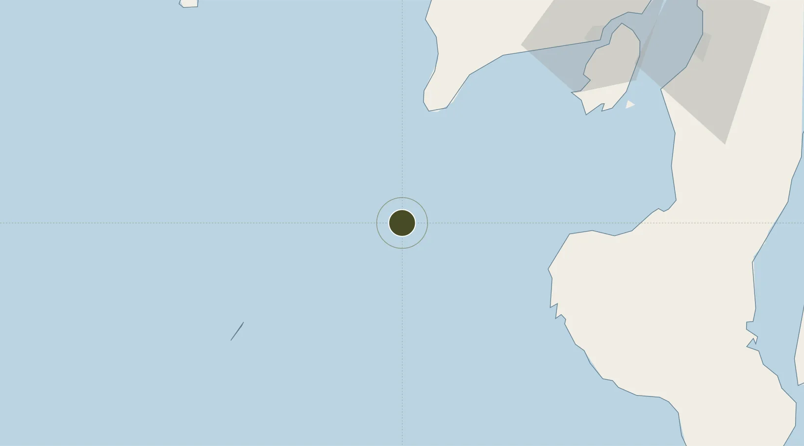
10.0151°, 121.8505°
20 ha
Zone area
110.6 km
Nearest port
84.0 km
Nearest airport
Gateway access
Zone profile
Zone type
Specialized Zone
Specialization
Agriculture
Status
Active
Management
Public
Operator
City Government of Sagay, Negros Occidental
Legal framework
Special Economic Zone Act (Republic Act No. 7916) (as amended by Republic Act No. 8748)
Location
Nearby Logistics Neighbours
Ports
- 1Iloilo111 km
- 2Pulupandan118 km
- 3Bais146 km
- 4Dumaguete177 km
- 5San Carlos179 km
Airports
- 1Evelio Javier Airport84 km
- 2Iloilo International Airport115 km
- 3Cuyo Airport127 km
- 4Bacolod-Silay International Airport153 km
- 5Sibulan Airport176 km
Cities
- 1Hamtic77 km
- 2Iloilo, Panay111 km
- 3Himamaylan, Negros112 km
- 4La Carlota125 km
- 5Bacolod, Negros140 km
Trade Zones
- 1Guimaras Growth Center102 km
- 2Iloilo Technohub108 km
- 3Iloilo Technohub II108 km
- 4Iloilo Business Park109 km
- 5Robinsons Place Iloilo109 km
DatabookThe Record of Consolidated Knowledge
Philippines beyond logistics?