Medium airport · French Polynesia
Tikehau AirportNTGC
-15.1196°, -148.2310°
3,937 ft
Longest runway
1
Runways
6 ft
Elevation
Runway & Layout

Radio Frequencies
AFIS
119.5 MHz
INFO
Runways · 1
| Runway | Dimensions | Surface | True heading | Lit |
|---|---|---|---|---|
| 06/24 | 3,937 × 98ft | Asphalt | 075° | — |
Airport Specifications
IATA code
TIH
ICAO code
NTGC
Airport class
Medium airport
Scheduled service
Yes
Runway surface
Asphalt
Served city
Tuherahera
Location
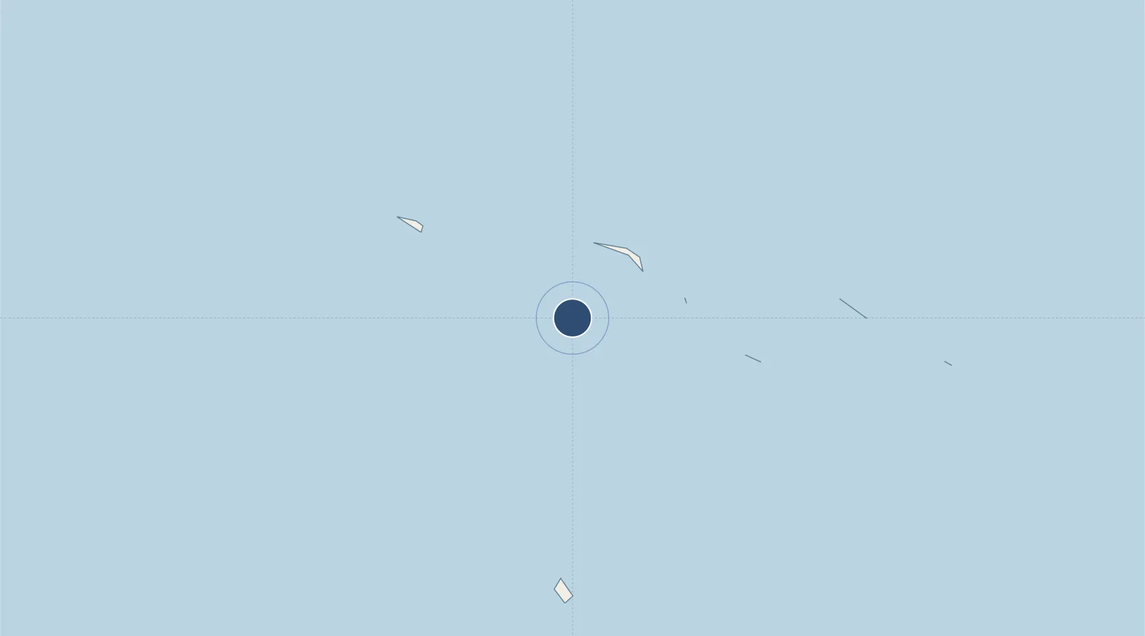
Nearby Logistics Neighbours
Airports
- 1Mataiva Airport59 km
- 2Rangiroa Airport64 km
- 3Kaukura Airport157 km
- 4Arutua Airport174 km
- 5Apataki Airport201 km
Ports
- 1Papeete305 km
- 2Uturoa388 km
- 3Vaitape407 km
- 4Baie Taiohae1121 km
- 5Atuona1159 km
Trade Zones
- 1FTZ No. 009 Honolulu4184 km
- 2The Special Economic Zone of Lázaro Cárdenas - La Unión6243 km
- 3FTZ No. 153 San Diego6257 km
- 4FTZ No. 202 Los Angeles6292 km
- 5FTZ No. 050 Long Beach6306 km
DatabookThe Record of Consolidated Knowledge
French Polynesia beyond logistics?