Transport Functions
Port
Airport
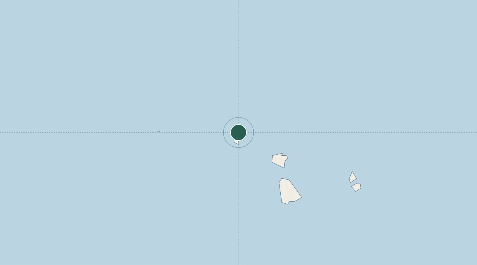
Location
Nearby Logistics Neighbours
Ports
- 1Vaitape6 km
- 2Uturoa45 km
- 3Papeete260 km
- 4Avatiu997 km
- 5Baie Taiohae1516 km
Airports
- 1Bora Bora Airport1 km
- 2Raiatea Airport43 km
- 3Maupiti Airport53 km
- 4Huahine-Fare Airport82 km
- 5Moorea Temae Airport241 km
Trade Zones
- 1FTZ No. 009 Honolulu4250 km
- 2FTZ No. 153 San Diego6585 km
- 3FTZ No. 202 Los Angeles6613 km
- 4FTZ No. 050 Long Beach6627 km
- 5The Special Economic Zone of Lázaro Cárdenas - La Unión6638 km
DatabookThe Record of Consolidated Knowledge
French Polynesia beyond logistics?