Seaport · French Polynesia
PapeetePFPPT
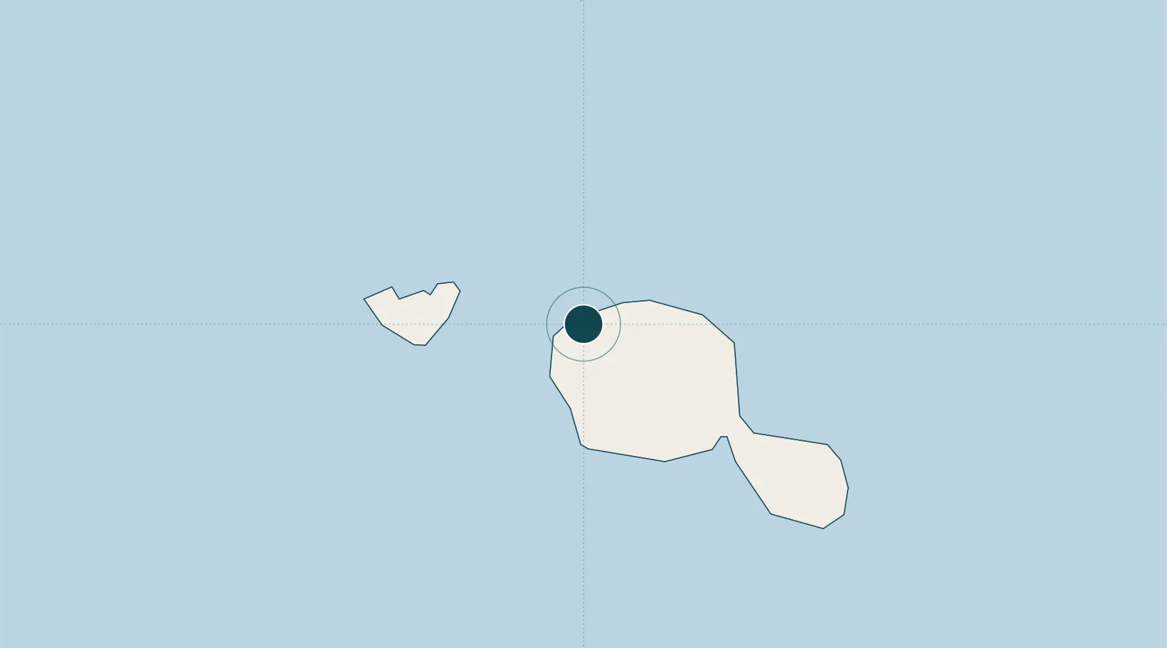
-17.5333°, -149.5833°
9.4 m
Channel depth
1
Container terminals
92.2
Port liner connectivity
Channel & Berth Profile
Pilotage, Tugs & Services
Pilotage compulsoryYES
Pilotage availableYES
Pilotage advisableYES
Tug assistanceYES
Shore powerYES
Potable waterYES
Diesel bunkersYES
MedicalYES
Garbage disposalYES
Facilities & Capabilities
Container—
Ro-Ro—
Liquid bulk—
Dry bulk—
Oil terminal—
Break bulk—
Dry dock—
RepairsNO
BunkeringYES
Rail link—
Dangerous cargo—
ISPS security—
Harbour Specifications
Harbour size
Small
Harbour type
Coastal (Natural)
Shelter
Excellent
Water body
South Pacific Ocean
Overhead limit
Yes
Pilotage
Yes
Liner Connectivity
92.2
PLSCI
Port Liner Shipping Connectivity Index for Papeete, as published by UNCTAD for the latest available quarter. Higher values indicate stronger scheduled liner-shipping integration.
Shown relative to the highest per-port PLSCI in the dataset (1,657.9).
Location
Container Terminals · 1
PORT OF PAPEETE
POPA PORT AUTONOME DE PAPEETE
Nearby Logistics Neighbours
Ports
- 1Uturoa217 km
- 2Vaitape257 km
- 3Avatiu1145 km
- 4Baie Taiohae1403 km
- 5Atuona1426 km
Cities
- 1Uturoa217 km
- 2Raiatea219 km
- 3Bora Bora260 km
- 4Niau377 km
- 5Hereheretue548 km
Airports
- 1Fa'a'ā International Airport3 km
- 2Moorea Temae Airport20 km
- 3Huahine-Fare Airport180 km
- 4Raiatea Airport219 km
- 5Bora Bora Airport260 km
Trade Zones
- 1FTZ No. 009 Honolulu4412 km
- 2The Special Economic Zone of Lázaro Cárdenas - La Unión6514 km
- 3FTZ No. 153 San Diego6561 km
- 4FTZ No. 202 Los Angeles6597 km
- 5FTZ No. 050 Long Beach6611 km
DatabookThe Record of Consolidated Knowledge
French Polynesia beyond logistics?