UN/LOCODE hub · French Polynesia
PFPPT
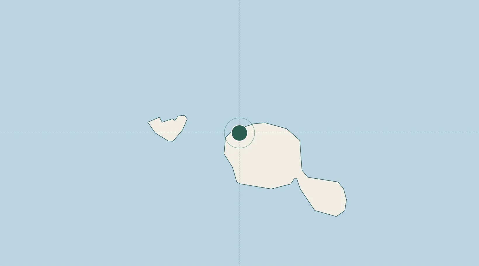
Papeete
-17.5349°, -149.5772°
26,357
Population
4
Transport functions
Transport Functions
Port
Road
Airport
Postal
Hub Profile
Place type
National capital
Region
Îles du Vent
Population
26,357
Time zone
Pacific/Tahiti
Elevation
42 m
Logistics facilities
2
Location
Nearby Logistics Neighbours
Cities
- 1Uturoa218 km
- 2Raiatea220 km
- 3Bora Bora261 km
- 4Niau376 km
- 5Hereheretue547 km
Ports
- 1Uturoa218 km
- 2Vaitape258 km
- 3Avatiu1145 km
- 4Baie Taiohae1403 km
- 5Atuona1425 km
Airports
- 1Fa'a'ā International Airport4 km
- 2Moorea Temae Airport20 km
- 3Huahine-Fare Airport180 km
- 4Raiatea Airport220 km
- 5Bora Bora Airport261 km
Trade Zones
- 1FTZ No. 009 Honolulu4412 km
- 2The Special Economic Zone of Lázaro Cárdenas - La Unión6514 km
- 3FTZ No. 153 San Diego6561 km
- 4FTZ No. 202 Los Angeles6596 km
- 5FTZ No. 050 Long Beach6611 km
DatabookThe Record of Consolidated Knowledge
French Polynesia beyond logistics?