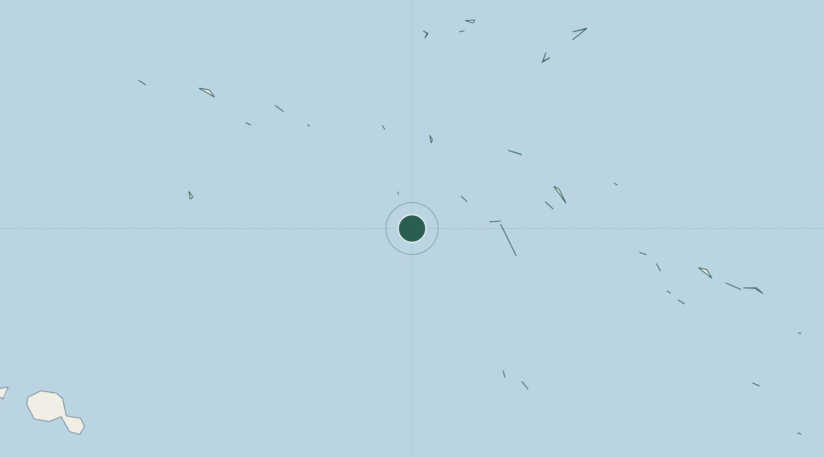
UN/LOCODE hub · French Polynesia
PFTUP

Niau

-16.1167°, -146.3667°
1
Transport functions

Transport Functions

Port
UN/LOCODE

Location

Location of PFTUP
Natural Earth 10m (public domain) · Tuamotu-Gambier · PFTUP · -16.12, -146.37GoogleOSMYandex

Nearby Logistics Neighbours

Cities
  1. 1Papeete376 km
  2. 2Hereheretue441 km
  3. 3Uturoa547 km
  4. 4Raiatea548 km
  5. 5Bora Bora576 km
Nearest neighbours — logibook spatial index (haversine) over the source coordinates
Ports
  1. 1Papeete377 km
  2. 2Uturoa547 km
  3. 3Vaitape576 km
  4. 4Baie Taiohae1050 km
  5. 5Atuona1059 km
Nearest neighbours — logibook spatial index (haversine) over the source coordinates
Airports
  1. 1Naiu Airport0 km
  2. 2Apataki Airport61 km
  3. 3Kaukura Airport75 km
  4. 4Fakarava Airport76 km
  5. 5Arutua Airport100 km
Nearest neighbours — logibook spatial index (haversine) over the source coordinates
Trade Zones
  1. 1FTZ No. 009 Honolulu4346 km
  2. 2The Special Economic Zone of Lázaro Cárdenas - La Unión6144 km
  3. 3FTZ No. 153 San Diego6250 km
  4. 4FTZ No. 202 Los Angeles6293 km
  5. 5FTZ No. 050 Long Beach6306 km
Nearest neighbours — logibook spatial index (haversine) over the source coordinates
DatabookThe Record of Consolidated Knowledge
French Polynesia beyond logistics?
Browse databook

All Sources

LocationsUN/LOCODE
UN/LOCODE — free
Portsthe NGA World Port Index
Public domain (US gov)
AirportsOurAirports
Public domain
Trade Zonesthe World Bank SEZ database
CC BY 4.0
Trade ZonesOpen Zone Map
CC BY
← French Polynesia locations