Transport Functions
Port
Airport
Hub Profile
Place type
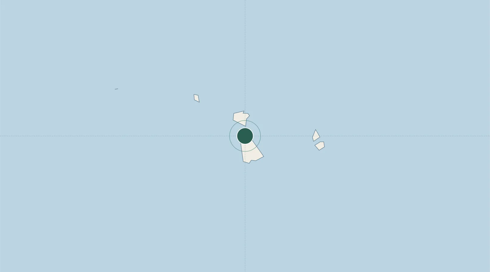
Populated place
Region
Leeward Islands
Time zone
Pacific/Tahiti
Elevation
9 m
Location
Nearby Logistics Neighbours
Ports
- 1Uturoa2 km
- 2Vaitape40 km
- 3Papeete219 km
- 4Avatiu1005 km
- 5Baie Taiohae1507 km
Airports
- 1Raiatea Airport1 km
- 2Bora Bora Airport44 km
- 3Huahine-Fare Airport48 km
- 4Maupiti Airport90 km
- 5Moorea Temae Airport200 km
Trade Zones
- 1FTZ No. 009 Honolulu4286 km
- 2FTZ No. 153 San Diego6595 km
- 3FTZ No. 202 Los Angeles6623 km
- 4The Special Economic Zone of Lázaro Cárdenas - La Unión6630 km
- 5FTZ No. 050 Long Beach6638 km
DatabookThe Record of Consolidated Knowledge
French Polynesia beyond logistics?