UN/LOCODE hub · French Polynesia
PFUTU

Uturoa

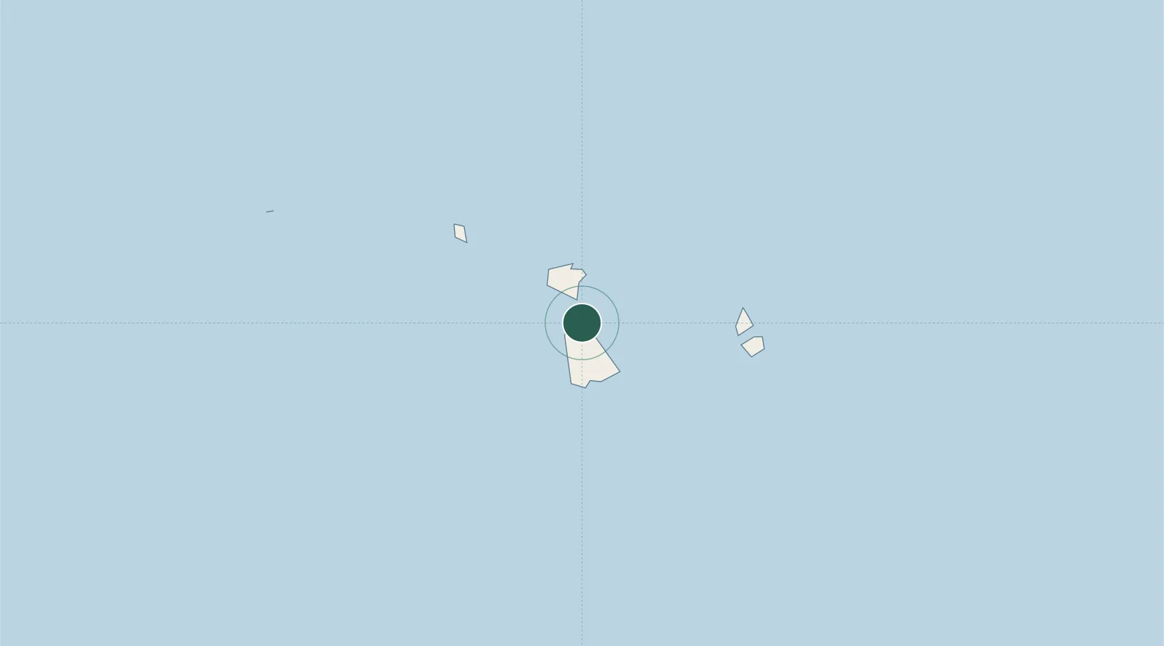
-16.7333°, -151.4500°
3,668
Population
1
Transport functions

Transport Functions

Port
Uturoa is also a profiled seaport →
UN/LOCODE

Hub Profile

Place type
Regional capital
GeoNames
Region
Leeward Islands
GeoNames
Population
3,668
GeoNames
Time zone
Pacific/Tahiti
GeoNames
Elevation
1 m
GeoNames

Location

Location of PFUTU
Natural Earth 10m (public domain) · Leeward Islands · PFUTU · -16.73, -151.45GoogleOSMYandex

Nearby Logistics Neighbours

Cities
  1. 1Raiatea2 km
  2. 2Bora Bora45 km
  3. 3Papeete218 km
  4. 4Niau547 km
  5. 5Moerai636 km
Nearest neighbours — logibook spatial index (haversine) over the source coordinates
Ports
  1. 1Vaitape41 km
  2. 2Papeete217 km
  3. 3Avatiu1007 km
  4. 4Baie Taiohae1506 km
  5. 5Atuona1547 km
Nearest neighbours — logibook spatial index (haversine) over the source coordinates
Airports
  1. 1Raiatea Airport2 km
  2. 2Bora Bora Airport45 km
  3. 3Huahine-Fare Airport46 km
  4. 4Maupiti Airport91 km
  5. 5Moorea Temae Airport198 km
Nearest neighbours — logibook spatial index (haversine) over the source coordinates
Trade Zones
  1. 1FTZ No. 009 Honolulu4287 km
  2. 2FTZ No. 153 San Diego6594 km
  3. 3FTZ No. 202 Los Angeles6622 km
  4. 4The Special Economic Zone of Lázaro Cárdenas - La Unión6629 km
  5. 5FTZ No. 050 Long Beach6637 km
Nearest neighbours — logibook spatial index (haversine) over the source coordinates
DatabookThe Record of Consolidated Knowledge
French Polynesia beyond logistics?
Browse databook

All Sources

LocationsUN/LOCODE
UN/LOCODE — free
LocationsGeoNames
CC BY 4.0
Portsthe NGA World Port Index
Public domain (US gov)
AirportsOurAirports
Public domain
Trade Zonesthe World Bank SEZ database
CC BY 4.0
Trade ZonesOpen Zone Map
CC BY
← French Polynesia locations