Small airport · French Polynesia
Apataki AirportNTGD
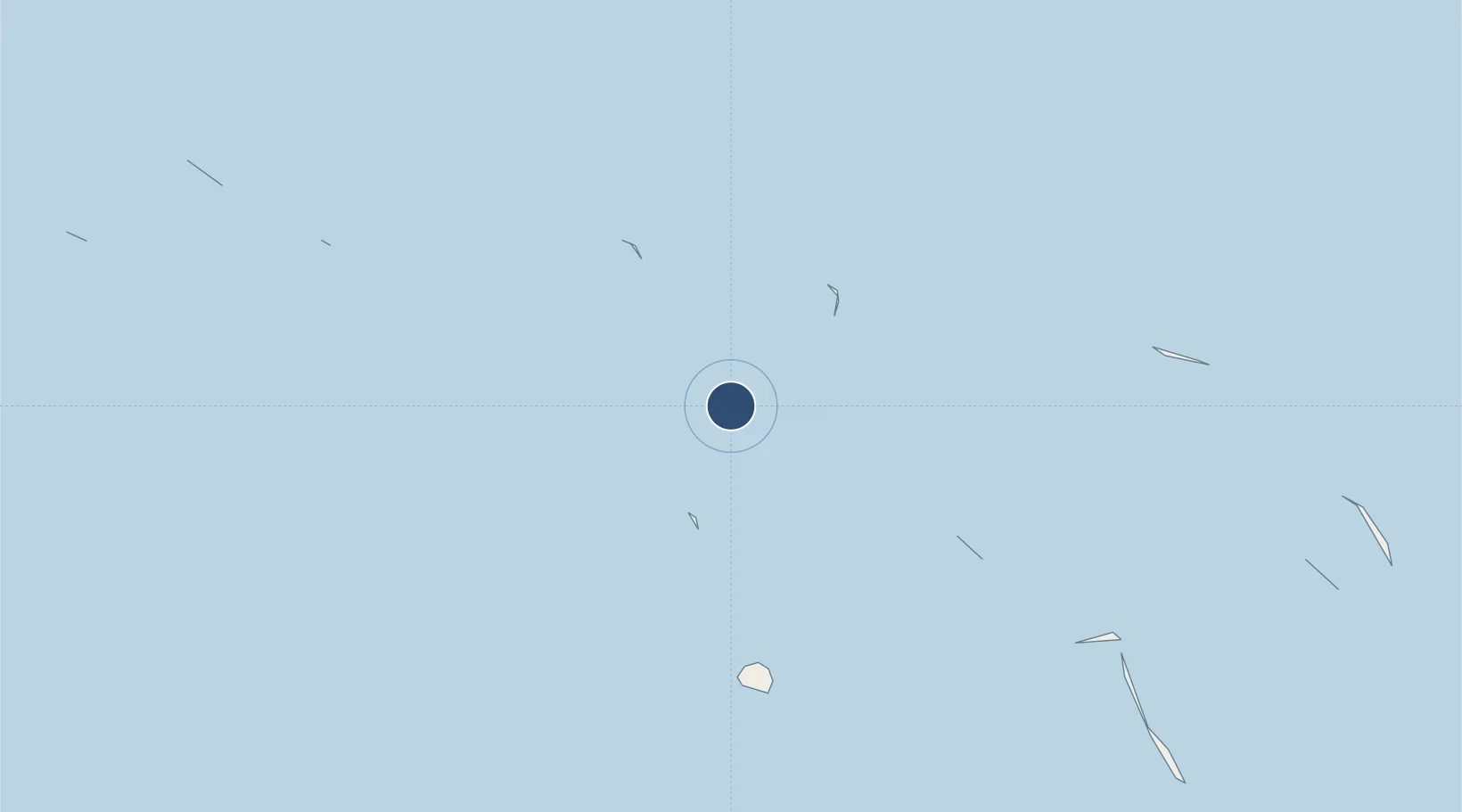
-15.5736°, -146.4150°
2,854 ft
Longest runway
1
Runways
8 ft
Elevation
Runway & Layout
Runways · 1
| Runway | Dimensions | Surface | True heading | Lit |
|---|---|---|---|---|
| 12/30 | 2,854 × —ft | — | — | — |
Airport Specifications
IATA code
APK
ICAO code
NTGD
Airport class
Small airport
Scheduled service
Yes
Served city
Apataki
Location
Nearby Logistics Neighbours
Airports
- 1Arutua Airport42 km
- 2Kaukura Airport51 km
- 3Naiu Airport61 km
- 4Fakarava Airport97 km
- 5Ahe Airport129 km
Cities
- 1Niau61 km
- 2Papeete401 km
- 3Hereheretue500 km
- 4Uturoa553 km
- 5Raiatea555 km
Ports
- 1Papeete402 km
- 2Uturoa553 km
- 3Vaitape579 km
- 4Baie Taiohae1009 km
- 5Atuona1025 km
Trade Zones
- 1FTZ No. 009 Honolulu4286 km
- 2The Special Economic Zone of Lázaro Cárdenas - La Unión6113 km
- 3FTZ No. 153 San Diego6201 km
- 4FTZ No. 202 Los Angeles6242 km
- 5FTZ No. 050 Long Beach6256 km
DatabookThe Record of Consolidated Knowledge
French Polynesia beyond logistics?