Runway & Layout

Airport Specifications
ICAO code
UASD
Airport class
Medium airport
Scheduled service
No
Served city
Semey
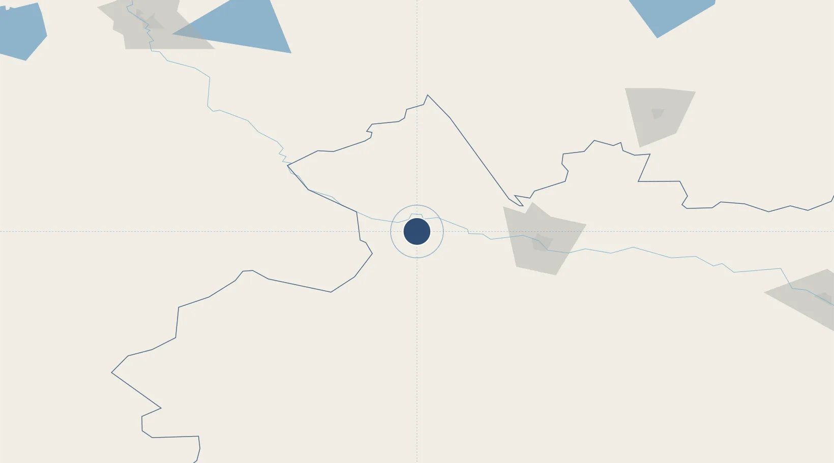
Location
Nearby Logistics Neighbours
Airports
- 1Kurchatov Airfield51 km
- 2Semei International Airport77 km
- 3Zhangiztobe Air Base211 km
- 4Pavlodar International Airport236 km
- 5Oskemen International Airport241 km
Cities
- 1Waigandshain116 km
- 2Löhnberg198 km
- 3Erbenheim276 km
- 4Aleysk329 km
- 5Werther345 km
Ports
- 1Igarka1925 km
- 2Dudinka2130 km
- 3Port Dikson2555 km
- 4Muhamamad Bin Qasim3041 km
- 5Karachi3050 km
Trade Zones
DatabookThe Record of Consolidated Knowledge
Kazakhstan beyond logistics?