Transport Functions
Rail
Road
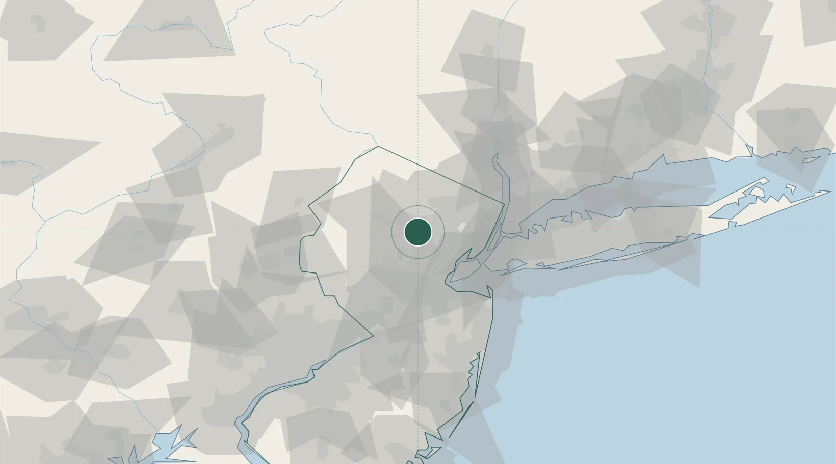
Hub Profile
Place type
Populated place
Region
New Jersey
Time zone
America/New_York
Elevation
82 m
Location
Nearby Logistics Neighbours
Cities
- 1Birch Hills1 km
- 2Lake Hiawatha9 km
- 3Mountain Lakes9 km
- 4New Vernon10 km
- 5Mendham14 km
Ports
- 1Newark28 km
- 2Elizabethport29 km
- 3Bayway29 km
- 4Port Richmond SI33 km
- 5Carteret33 km
Airports
Trade Zones
DatabookThe Record of Consolidated Knowledge
United States beyond logistics?