UN/LOCODE hub · United States
USXSY
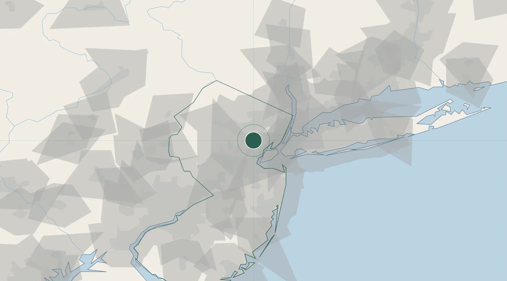
Short Hills
40.7333°, -74.3167°
13,165
Population
3
Transport functions
Transport Functions
Port
Road
Multimodal
Hub Profile
Place type
Populated place
Region
New Jersey
Population
13,165
Time zone
America/New_York
Elevation
84 m
Location
Nearby Logistics Neighbours
Cities
- 1South Orange5 km
- 2New Providence9 km
- 3Orange9 km
- 4East Orange11 km
- 5Roselle Park11 km
Ports
- 1Newark15 km
- 2Elizabethport15 km
- 3Bayway15 km
- 4Port Richmond SI18 km
- 5Carteret19 km
Airports
Trade Zones
DatabookThe Record of Consolidated Knowledge
United States beyond logistics?