UN/LOCODE hub · United States
USCUZ
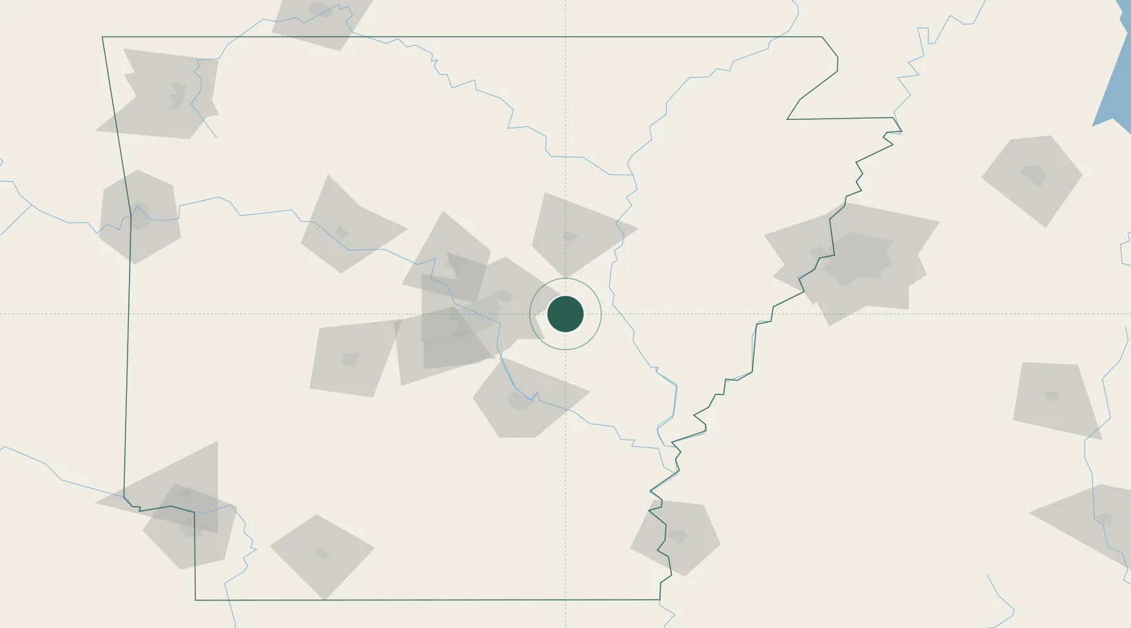
Carlisle
34.7833°, -91.7500°
2,183
Population
2
Transport functions
Transport Functions
Port
Road
Hub Profile
Place type
Populated place
Region
Arkansas
Population
2,183
Time zone
America/Chicago
Elevation
70 m
Location
Nearby Logistics Neighbours
Ports
- 1Port Of Memphis148 km
- 2Baton Rouge485 km
- 3Madisonville510 km
- 4Lake Charles527 km
- 5Slidell535 km
Airports
Trade Zones
- 1FTZ No. 014 Little Rock41 km
- 2FTZ No. 287 Tunica County99 km
- 3FTZ No. 077 Memphis142 km
- 4FTZ No. 273 West Memphis148 km
- 5FTZ No. 223 Memphis154 km
DatabookThe Record of Consolidated Knowledge
United States beyond logistics?