UN/LOCODE hub · Madagascar
MGAMS

Amboasary Sud

-25.0333°, 46.3833°
2
Transport functions

Transport Functions

Rail
Road
UN/LOCODE

Hub Profile

Region
U
GeoNames

Location

Location of MGAMS
Natural Earth 10m (public domain) · U · MGAMS · -25.03, 46.38GoogleOSMYandex

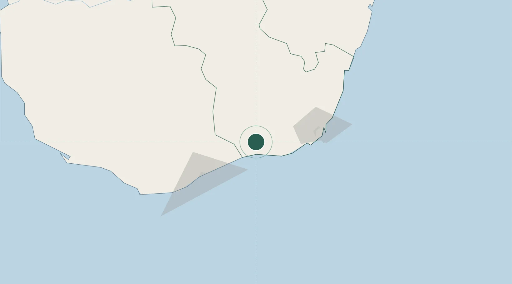
Nearby Logistics Neighbours

Cities
  1. 1Ehoala57 km
  2. 2Tulear (Toliara)331 km
  3. 3Tamatave (Toamasina)827 km
  4. 4Saint-Paul1014 km
  5. 5Le Port1021 km
Nearest neighbours — logibook spatial index (haversine) over the source coordinates
Ports
  1. 1Tolanaro62 km
  2. 2Toliara332 km
  3. 3Manakara366 km
  4. 4Mananjary466 km
  5. 5Morondava570 km
Nearest neighbours — logibook spatial index (haversine) over the source coordinates
Airports
  1. 1Tôlanaro Airport58 km
  2. 2Toliara Airport326 km
  3. 3Manakara Airport365 km
  4. 4Fianarantsoa Airport406 km
  5. 5Mananjary Airport472 km
Nearest neighbours — logibook spatial index (haversine) over the source coordinates
Trade Zones
  1. 1Ehoala Park58 km
  2. 2Betsinjaka Special Economic Zone328 km
  3. 3Moramanga Textile City Zone704 km
  4. 4Tsarakofafa Special Economic Zone825 km
  5. 5Toamasina Autonomous Port827 km
Nearest neighbours — logibook spatial index (haversine) over the source coordinates
DatabookThe Record of Consolidated Knowledge
Madagascar beyond logistics?
Browse databook

All Sources

LocationsUN/LOCODE
UN/LOCODE — free
Portsthe NGA World Port Index
Public domain (US gov)
AirportsOurAirports
Public domain
Trade Zonesthe World Bank SEZ database
CC BY 4.0
Trade ZonesOpen Zone Map
CC BY
← Madagascar locations