Medium airport · Madagascar
Fianarantsoa AirportFMSF
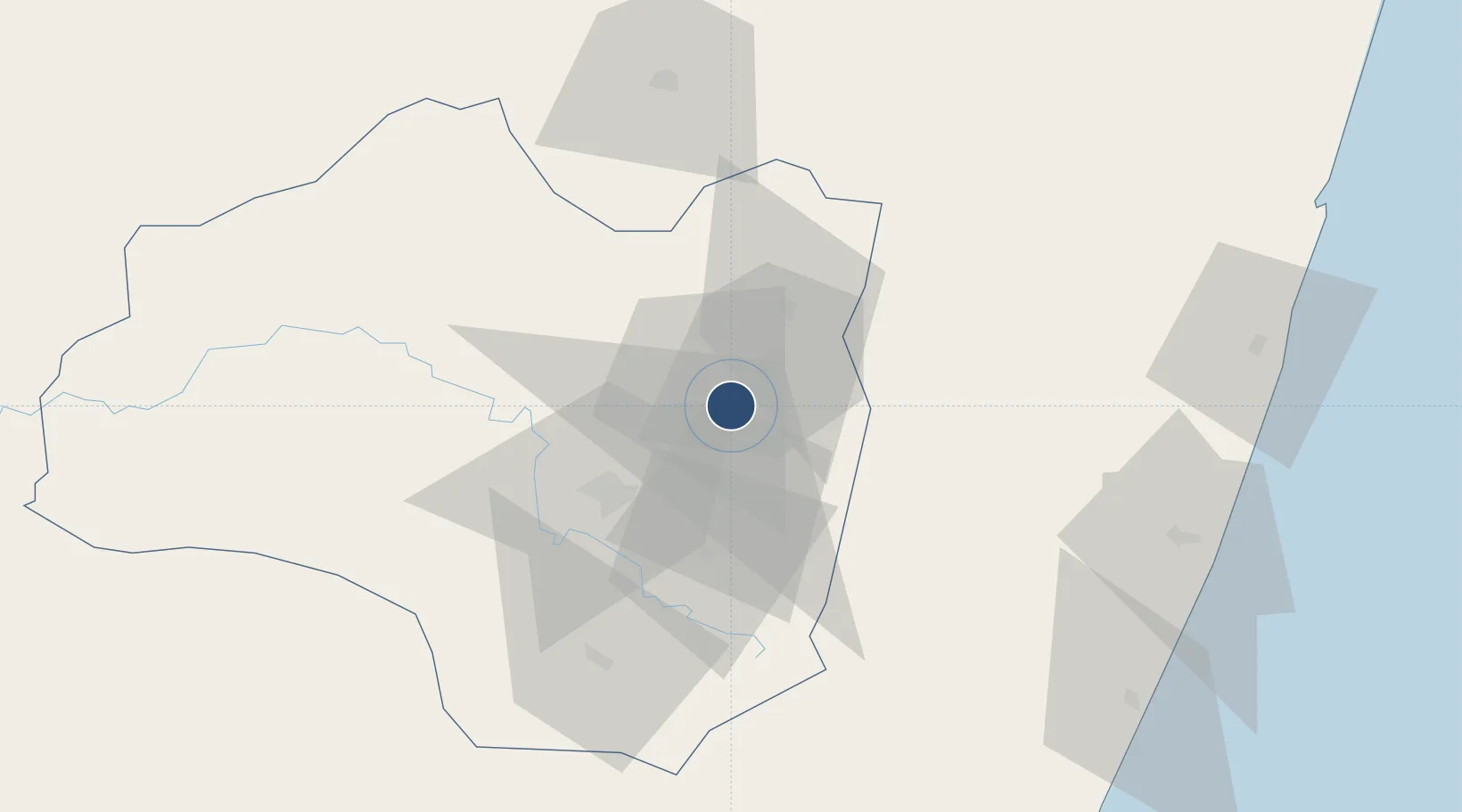
-21.4416°, 47.1117°
4,101 ft
Longest runway
1
Runways
3,658 ft
Elevation
Runway & Layout

Radio Frequencies
A/G
548.4 MHz
A/G VOICE RDO
AFIS
120.8 MHz
Navaids
VSF NDB Fianarantsoa 322 kHz
Runways · 1
| Runway | Dimensions | Surface | True heading | Lit |
|---|---|---|---|---|
| 08/26 | 4,101 × 82ft | Asphalt | 062° | — |
Airport Specifications
IATA code
WFI
ICAO code
FMSF
Airport class
Medium airport
Scheduled service
No
Runway surface
Asphalt
Served city
Fianarantsoa
Location
Nearby Logistics Neighbours
Airports
- 1Manakara Airport121 km
- 2Mananjary Airport132 km
- 3Miandrivazo Airport271 km
- 4Ivato International Airport297 km
- 5Morondava Airport318 km
Cities
- 1Ehoala403 km
- 2Amboasary Sud406 km
- 3Tulear (Toliara)413 km
- 4Tamatave (Toamasina)438 km
- 5Saint-Paul847 km
Trade Zones
- 1Moramanga Textile City Zone301 km
- 2Ehoala Park404 km
- 3Betsinjaka Special Economic Zone412 km
- 4Tsarakofafa Special Economic Zone436 km
- 5Toamasina Autonomous Port438 km
DatabookThe Record of Consolidated Knowledge
Madagascar beyond logistics?