UN/LOCODE hub · Madagascar
MGTLE

Tulear (Toliara)

-23.3694°, 43.6731°
2
Transport functions

Transport Functions

Port
Airport
Tulear (Toliara) is also a profiled seaport →
UN/LOCODE

Hub Profile

Logistics facilities
1
UN/LOCODE

Location

Location of MGTLE
Natural Earth 10m (public domain) · Atsimo-Andrefana · MGTLE · -23.37, 43.67GoogleOSMYandex

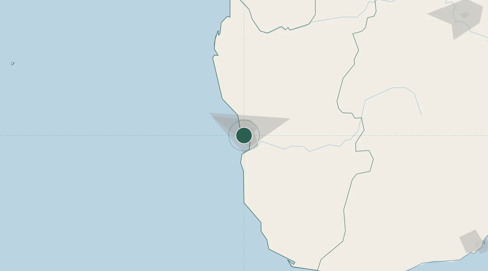
Nearby Logistics Neighbours

Cities
  1. 1Amboasary Sud331 km
  2. 2Ehoala382 km
  3. 3Tamatave (Toamasina)832 km
  4. 4Coropoa867 km
  5. 5Beira995 km
Nearest neighbours — logibook spatial index (haversine) over the source coordinates
Ports
  1. 1Morondava349 km
  2. 2Tolanaro385 km
  3. 3Manakara470 km
  4. 4Mananjary534 km
  5. 5Maintirano591 km
Nearest neighbours — logibook spatial index (haversine) over the source coordinates
Airports
  1. 1Toliara Airport6 km
  2. 2Morombe Airport182 km
  3. 3Morondava Airport349 km
  4. 4Tôlanaro Airport381 km
  5. 5Fianarantsoa Airport413 km
Nearest neighbours — logibook spatial index (haversine) over the source coordinates
Trade Zones
  1. 1Betsinjaka Special Economic Zone3 km
  2. 2Ehoala Park383 km
  3. 3Moramanga Textile City Zone681 km
  4. 4Tsarakofafa Special Economic Zone830 km
  5. 5Toamasina Autonomous Port833 km
Nearest neighbours — logibook spatial index (haversine) over the source coordinates
DatabookThe Record of Consolidated Knowledge
Madagascar beyond logistics?
Browse databook

All Sources

LocationsUN/LOCODE
UN/LOCODE — free
Portsthe NGA World Port Index
Public domain (US gov)
AirportsOurAirports
Public domain
Trade Zonesthe World Bank SEZ database
CC BY 4.0
Trade ZonesOpen Zone Map
CC BY
← Madagascar locations