Medium airport · Central African Republic

Berbérati AirportFEFT
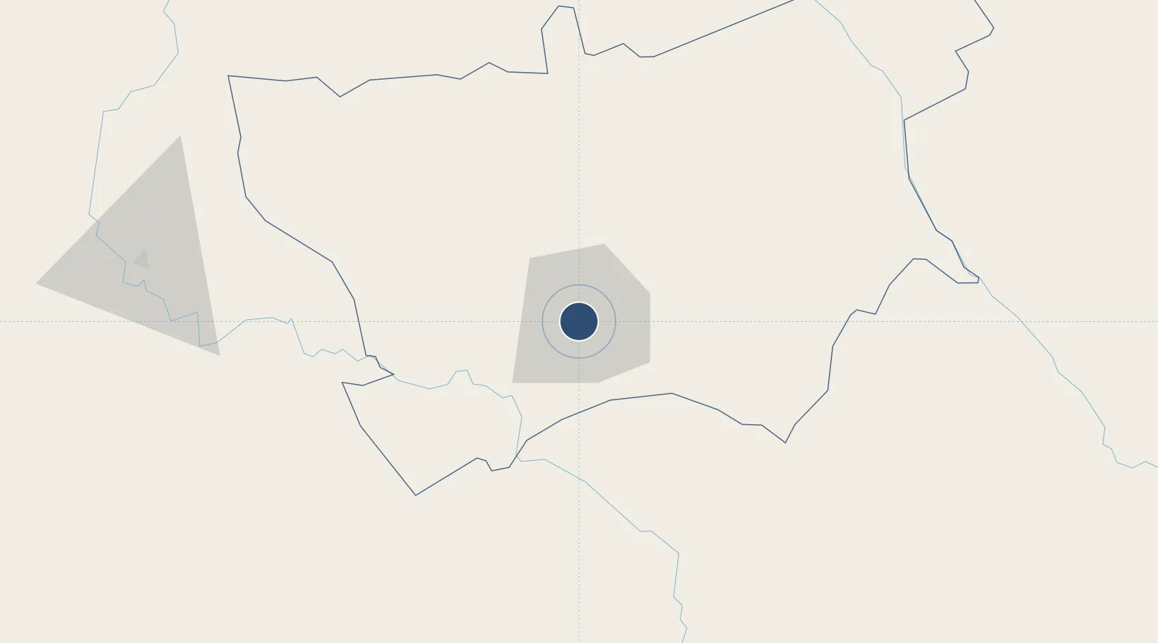
4.2216°, 15.7864°
5,446 ft
Longest runway
1
Runways
1,929 ft
Elevation

Runway & Layout

Berbérati Airport runway & taxiway layout
Runway & taxiway layout — OpenStreetMap (ODbL) / OurAirports

Radio Frequencies

AFIS
118.7 MHz
OurAirports

Navaids

BT VOR Berberati 113.90 MHz
OurAirports

Runways · 1

RunwayDimensions SurfaceTrue headingLit
17/35 5,446 × 98ft Asphalt 167°
OurAirports

Airport Specifications

IATA code
BBT
OurAirports
ICAO code
FEFT
OurAirports
Airport class
Medium airport
OurAirports
Scheduled service
No
OurAirports
Runway surface
Asphalt
OurAirports
Served city
Berbérati
OurAirports

Location

Location of FEFT
Natural Earth 10m (public domain) · Mambéré-Kadéï · FEFT · 4.22, 15.79GoogleOSMYandex

Nearby Logistics Neighbours

Airports
  1. 1Ouesso Airport291 km
  2. 2Bangui M'Poko International Airport304 km
  3. 3N'Gaoundéré Airport427 km
  4. 4Gemena Airport456 km
  5. 5Yaoundé Nsimalen International Airport473 km
Nearest neighbours — logibook spatial index (haversine) over the source coordinates
Cities
  1. 1Bélabo287 km
  2. 2Zongo312 km
  3. 3Oyo358 km
  4. 4Banana425 km
  5. 5Ngaoundéré426 km
Nearest neighbours — logibook spatial index (haversine) over the source coordinates
Ports
  1. 1Douala677 km
  2. 2Kome Kribi 1 Marine Terminal680 km
  3. 3Ebome Marine Terminal681 km
  4. 4Bata718 km
  5. 5Limboh Terminal737 km
Nearest neighbours — logibook spatial index (haversine) over the source coordinates
Trade Zones
  1. 1Ouesso Special Economic Zone293 km
  2. 2Cite Lumiere Kwa na Kwa Economic Zone308 km
  3. 3Ngaoundere Industrial Zone425 km
  4. 4Nsam-Mvan Industrial Zone476 km
  5. 5Oyo-Ollombo Special Economic Zone604 km
Nearest neighbours — logibook spatial index (haversine) over the source coordinates
DatabookThe Record of Consolidated Knowledge
Central African Republic beyond logistics?
Browse databook

All Sources

AirportsOurAirports
Public domain
Portsthe NGA World Port Index
Public domain (US gov)
LocationsUN/LOCODE
UN/LOCODE — free
Trade Zonesthe World Bank SEZ database
CC BY 4.0
Trade ZonesOpen Zone Map
CC BY
InfrastructureOpenStreetMap
ODbL 1.0
← Central African Republic airports