Large airport · Central African Republic

Bangui M'Poko International AirportFEFF
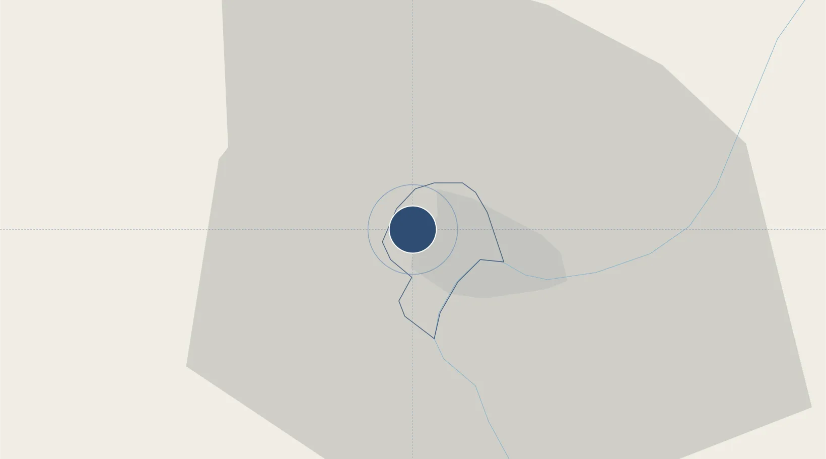
4.3985°, 18.5188°
8,530 ft
Longest runway
1
Runways
1,208 ft
Elevation

Runway & Layout

Bangui M'Poko International Airport runway & taxiway layout
Runway & taxiway layout — OpenStreetMap (ODbL) / OurAirports

Radio Frequencies

TWR
119.7 MHz
A/G
655.9 MHz
RDO
OurAirports

Navaids

MPK VOR-DME Bangui M Poko 117.30 MHz
OurAirports

Runways · 1

RunwayDimensions SurfaceTrue headingLit
16/34 8,530 × 148ft Asphalt 165°
OurAirports

Airport Specifications

IATA code
BGF
OurAirports
ICAO code
FEFF
OurAirports
Airport class
Large airport
OurAirports
Scheduled service
Yes
OurAirports
Runway surface
Asphalt
OurAirports
Served city
Bangui
OurAirports

Location

Location of FEFF
Natural Earth 10m (public domain) · Bangui · FEFF · 4.40, 18.52GoogleOSMYandex

Nearby Logistics Neighbours

Airports
  1. 1Gemena Airport190 km
  2. 2Gbadolite Airport273 km
  3. 3Berbérati Airport304 km
  4. 4Lisala Airport413 km
  5. 5Ouesso Airport414 km
Nearest neighbours — logibook spatial index (haversine) over the source coordinates
Cities
  1. 1Zongo11 km
  2. 2Togo375 km
  3. 3Oyo477 km
  4. 4Komé493 km
  5. 5Bélabo581 km
Nearest neighbours — logibook spatial index (haversine) over the source coordinates
Ports
  1. 1Douala981 km
  2. 2Kome Kribi 1 Marine Terminal981 km
  3. 3Ebome Marine Terminal982 km
  4. 4Bata1012 km
  5. 5Limboh Terminal1040 km
Nearest neighbours — logibook spatial index (haversine) over the source coordinates
Trade Zones
  1. 1Cite Lumiere Kwa na Kwa Economic Zone7 km
  2. 2Ouesso Special Economic Zone414 km
  3. 3Ngaoundere Industrial Zone638 km
  4. 4Oyo-Ollombo Special Economic Zone686 km
  5. 5Nsam-Mvan Industrial Zone779 km
Nearest neighbours — logibook spatial index (haversine) over the source coordinates
DatabookThe Record of Consolidated Knowledge
Central African Republic beyond logistics?
Browse databook

All Sources

AirportsOurAirports
Public domain
Portsthe NGA World Port Index
Public domain (US gov)
LocationsUN/LOCODE
UN/LOCODE — free
Trade Zonesthe World Bank SEZ database
CC BY 4.0
Trade ZonesOpen Zone Map
CC BY
InfrastructureOpenStreetMap
ODbL 1.0
← Central African Republic airports