Transport Functions
Rail
Road
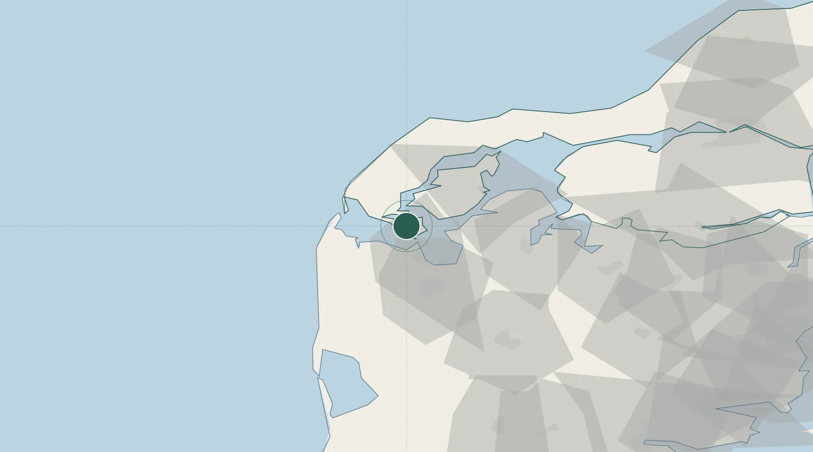
Location
Nearby Logistics Neighbours
Cities
- 1Hurup Thy13 km
- 2Kleppen14 km
- 3Thyborøn19 km
- 4Harboør21 km
- 5Nykøbing Mors25 km
Ports
- 1Lemvig16 km
- 2Holstebro-Stuer17 km
- 3Thyboron19 km
- 4Thisted35 km
- 5Hanstholm54 km
Airports
- 1Skive Airport42 km
- 2Thisted Airport48 km
- 3Midtjyllands Airport / Air Base Karup53 km
- 4Stauning Vestjylland Airport74 km
- 5Aalborg Airport95 km
Trade Zones
DatabookThe Record of Consolidated Knowledge
Denmark beyond logistics?