Transport Functions
Multimodal
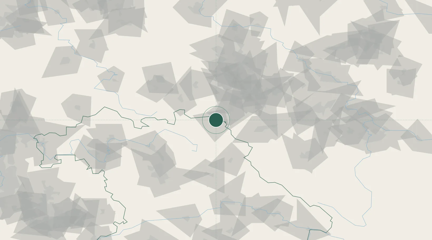
Hub Profile
Place type
Populated place
Region
Bavaria
Time zone
Europe/Berlin
Elevation
549 m
Location
Nearby Logistics Neighbours
Cities
- 1Zedtwitz2 km
- 2Hof5 km
- 3Gattendorf7 km
- 4Oberkotzau9 km
- 5Rehau13 km
Airports
- 1Hof-Plauen Airport9 km
- 2Bayreuth Airport46 km
- 3Karlovy Vary Airport72 km
- 4Grafenwöhr Army Air Field72 km
- 5Leipzig–Altenburg Airport81 km
Trade Zones
DatabookThe Record of Consolidated Knowledge
Germany beyond logistics?