Small airport · Canada
Kashechewan AirportCZKE
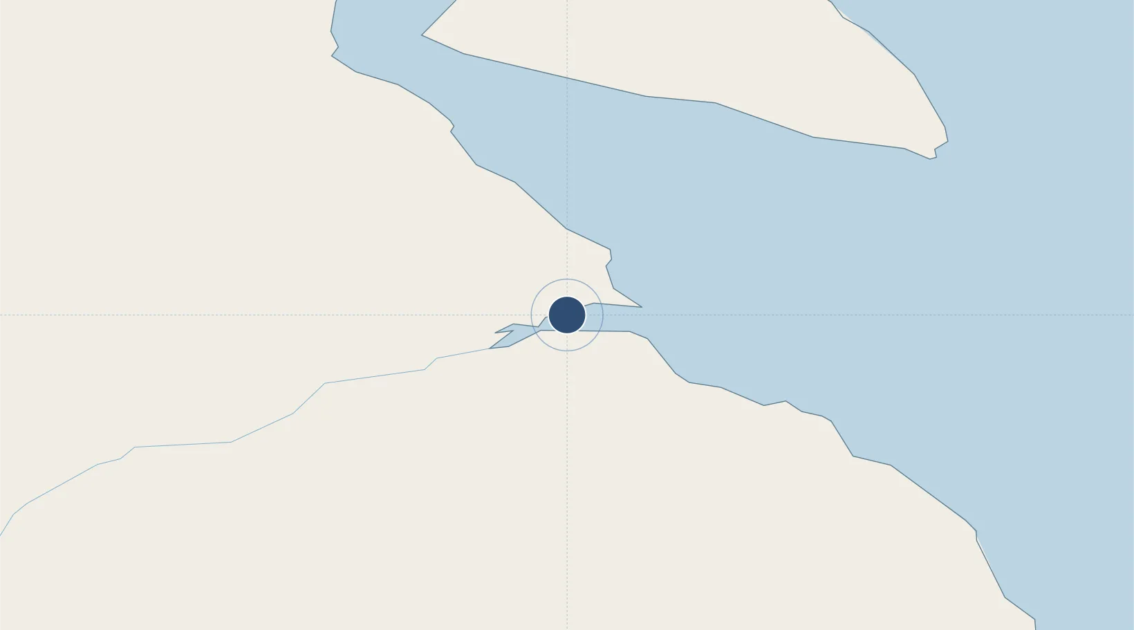
52.2825°, -81.6778°
3,903 ft
Longest runway
1
Runways
35 ft
Elevation
Runway & Layout

Runways · 1
| Runway | Dimensions | Surface | True heading | Lit |
|---|---|---|---|---|
| 06/24 | 3,903 × 100ft | GRVL | 064° | — |
Airport Specifications
IATA code
ZKE
ICAO code
CZKE
Airport class
Small airport
Scheduled service
Yes
Runway surface
GRVL
Served city
Kashechewan
Location
Nearby Logistics Neighbours
Airports
- 1Fort Albany Airport9 km
- 2Attawapiskat Airport88 km
- 3Moosonee Airport133 km
- 4Wemindji Airport208 km
- 5Eastmain River Airport215 km
Cities
- 1Moonbeam330 km
- 2Iroquois Falls397 km
- 3Porcupine422 km
- 4Lansdowne422 km
- 5Rouyn-Noranda488 km
Ports
- 1Heron Bay520 km
- 2Michipicoten532 km
- 3Goulais Bay650 km
- 4Sault Ste Marie670 km
- 5Sault Ste Marie671 km
Trade Zones
- 1FTZ No. 016 Sault Ste. Marie674 km
- 2FTZ No. 118 Ogdensburg956 km
- 3Greater Montreal Free Zone Center958 km
- 4Québec City FTZ964 km
- 5FTZ No. 167 Brown County997 km
DatabookThe Record of Consolidated Knowledge
Canada beyond logistics?