Medium airport · Canada
Moosonee AirportCYMO
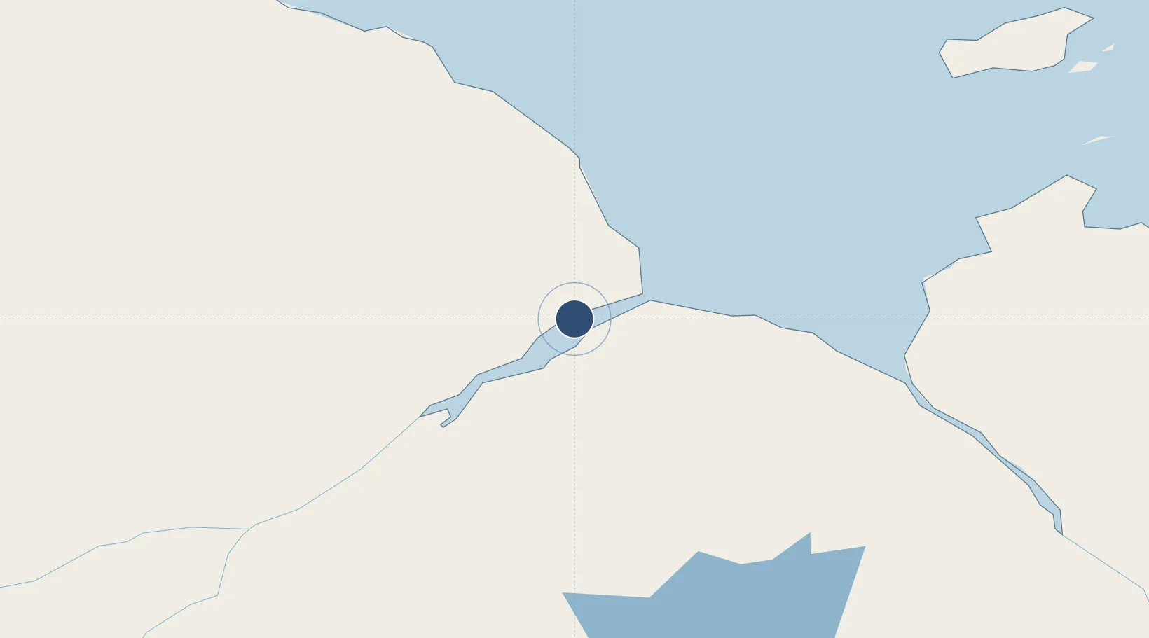
51.2911°, -80.6078°
4,000 ft
Longest runway
2
Runways
30 ft
Elevation
Runway & Layout

Radio Frequencies
AWOS
124.8 MHz
A/G
122.5 MHz
MF
ATF
122.5 MHz
CNTR
133.725 MHz
TORONTO CNTR
RCO
122.5 MHz
TIMMINS RDO
Navaids
MO NDB Moosonee 224 kHz
YMO VOR-DME Moosonee 112.90 MHz
Runways · 2
| Runway | Dimensions | Surface | True heading | Lit |
|---|---|---|---|---|
| 06/24 | 4,000 × 100ft | Asphalt | 043° | ✓ |
| 14/32 | 3,500 × 100ft | COM | 127° | ✓ |
Airport Specifications
IATA code
YMO
ICAO code
CYMO
Airport class
Medium airport
Scheduled service
Yes
Runway surface
Asphalt
Served city
Moosonee
Location
Nearby Logistics Neighbours
Airports
- 1Fort Albany Airport126 km
- 2Waskaganish Airport130 km
- 3Kashechewan Airport133 km
- 4Eastmain River Airport177 km
- 5Attawapiskat Airport221 km
Cities
- 1Moonbeam244 km
- 2Iroquois Falls281 km
- 3Porcupine313 km
- 4Rouyn-Noranda359 km
- 5Preissac359 km
Ports
- 1Michipicoten482 km
- 2Heron Bay503 km
- 3Goulais Bay581 km
- 4Blind River593 km
- 5Killarney596 km
Trade Zones
- 1FTZ No. 016 Sault Ste. Marie602 km
- 2FTZ No. 118 Ogdensburg824 km
- 3Greater Montreal Free Zone Center826 km
- 4FTZ No. 109 Watertown885 km
- 5FTZ No. 034 Niagara County893 km
DatabookThe Record of Consolidated Knowledge
Canada beyond logistics?