Small airport · Canada
Qikiqtarjuaq AirportCYVM
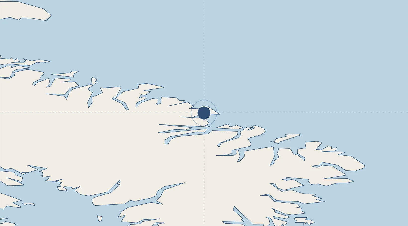
67.5466°, -64.0314°
3,800 ft
Longest runway
1
Runways
21 ft
Elevation
Runway & Layout

Radio Frequencies
AWOS
122.55 MHz
ATF
122.1 MHz
RDO
122.1 MHz
BROUGHTON RDO
Navaids
YJI NDB Broughton 237 kHz
Runways · 1
| Runway | Dimensions | Surface | True heading | Lit |
|---|---|---|---|---|
| 03T/21T | 3,800 × 100ft | Gravel | 033° | ✓ |
Airport Specifications
IATA code
YVM
ICAO code
CYVM
Airport class
Small airport
Scheduled service
Yes
Runway surface
Gravel
Served city
Qikiqtarjuaq
Location
Nearby Logistics Neighbours
Airports
- 1Pangnirtung Airport172 km
- 2Clyde River Airport372 km
- 3Iqaluit Airport469 km
- 4Kimmirut Airport589 km
- 5Upernavik Kujalleq Heliport606 km
Cities
- 1Iqaluit471 km
- 2Kangerlussuaq Havn566 km
- 3Tórshavn600 km
- 4Toqqusaq607 km
- 5Seqi Olivine Mine626 km
Ports
- 1Pangnirtung174 km
- 2Sisimiut450 km
- 3Qeqertarsuaq468 km
- 4Aasiaat479 km
- 5Maniitsoq546 km
Trade Zones
- 1Crossroads Business Park2135 km
- 2FTZ No. 179 Madawaska2267 km
- 3Québec City FTZ2341 km
- 4Cape Breton Regional Municipality Foreign Trade Zone2385 km
- 5Saint John2480 km
DatabookThe Record of Consolidated Knowledge
Canada beyond logistics?