Heliport · Greenland
Upernavik Kujalleq HeliportBGKL
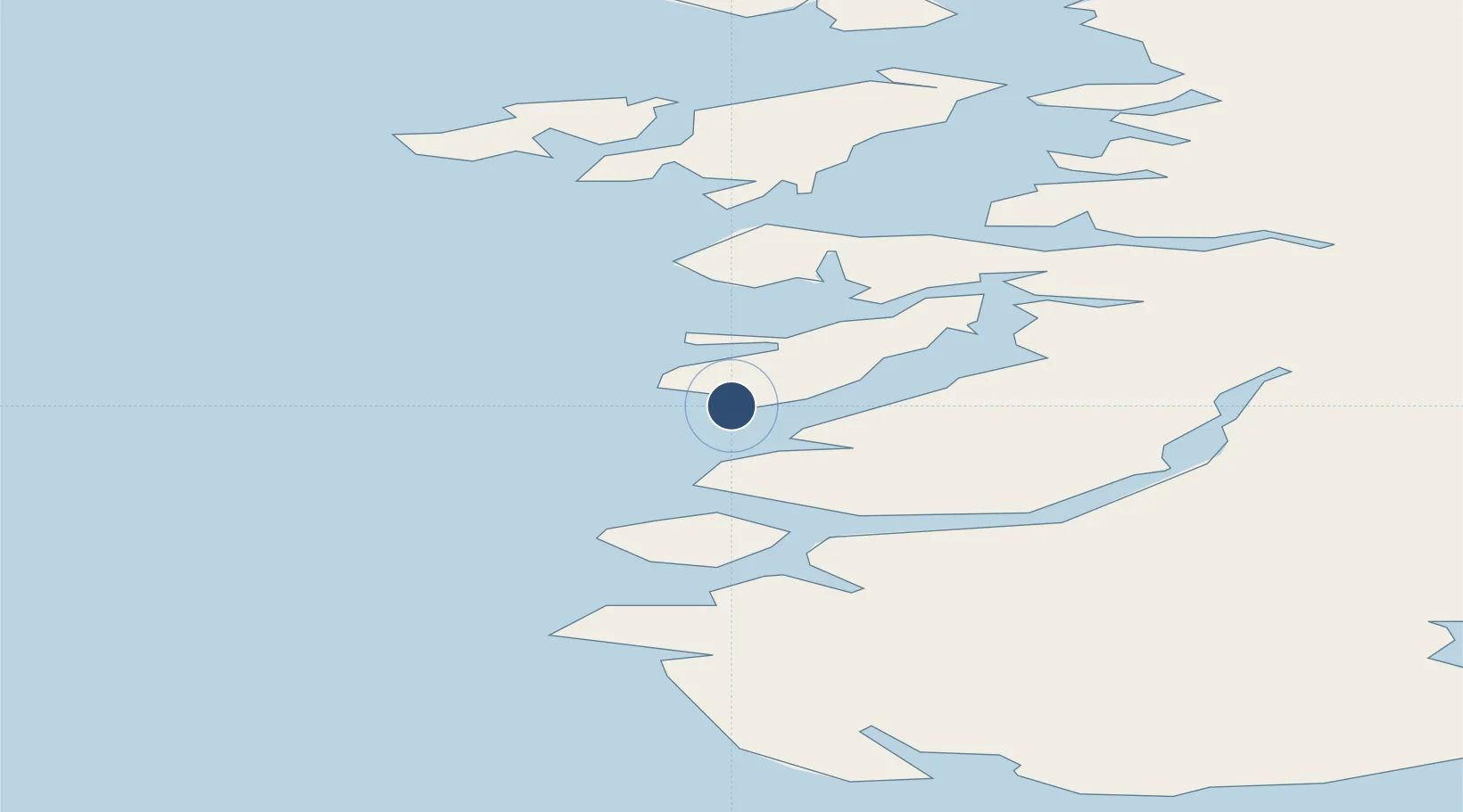
72.1527°, -55.5310°
98 ft
Longest runway
1
Runways
92 ft
Elevation
Runway & Layout

Runways · 1
| Runway | Dimensions | Surface | True heading | Lit |
|---|---|---|---|---|
| — | 98 × 68ft | Gravel | — | — |
Airport Specifications
ICAO code
BGKL
Airport class
Heliport
Scheduled service
Yes
Runway surface
Gravel
Served city
Upernavik Kujalleq
Location
Nearby Logistics Neighbours
Airports
- 1Kangersuatsiaq Heliport25 km
- 2Upernavik Airport74 km
- 3Aappilattoq Heliport82 km
- 4Nuugaatsiaq Heliport106 km
- 5Innarsuit Heliport118 km
Cities
- 1Maarmorliik187 km
- 2Kullorsuaq275 km
- 3Kangerlussuaq Havn603 km
- 4Seqi Olivine Mine815 km
- 5Toqqusaq821 km
Ports
- 1Kajalleq Upernavik0 km
- 2Marmorilik187 km
- 3Uummannaq205 km
- 4Qeqertarsuaq333 km
- 5Illulissat (Jakobshavn)365 km
Trade Zones
- 1Crossroads Business Park2581 km
- 2FTZ No. 179 Madawaska2843 km
- 3Cape Breton Regional Municipality Foreign Trade Zone2902 km
- 4Québec City FTZ2931 km
- 5Saint John3040 km
DatabookThe Record of Consolidated Knowledge
Greenland beyond logistics?