Small airport · Canada
Pangnirtung AirportCYXP
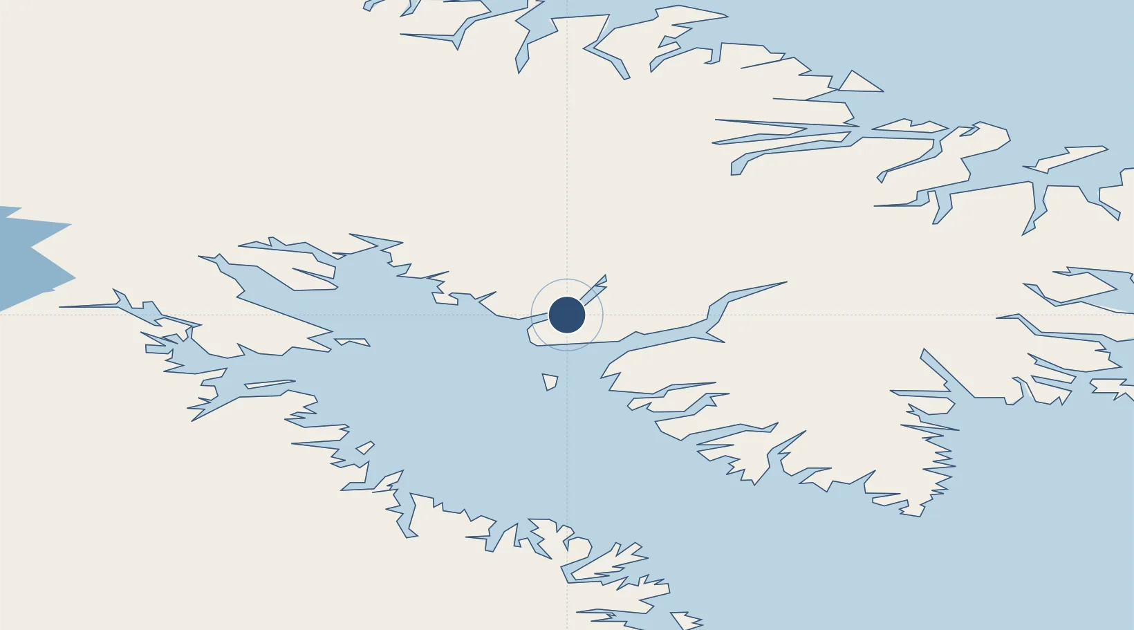
66.1449°, -65.7136°
2,920 ft
Longest runway
1
Runways
75 ft
Elevation
Runway & Layout

Radio Frequencies
ATF
122.1 MHz
MANDATORY FREQ
RDO
122.1 MHz
Navaids
YXP NDB Pangnirtung 218 kHz
Runways · 1
| Runway | Dimensions | Surface | True heading | Lit |
|---|---|---|---|---|
| 06T/24T | 2,920 × 100ft | Gravel | 062° | ✓ |
Airport Specifications
IATA code
YXP
ICAO code
CYXP
Airport class
Small airport
Scheduled service
Yes
Runway surface
Gravel
Served city
Pangnirtung
Location
Nearby Logistics Neighbours
Airports
- 1Qikiqtarjuaq Airport172 km
- 2Iqaluit Airport297 km
- 3Kimmirut Airport417 km
- 4Clyde River Airport496 km
- 5Kangiqsujuaq (Wakeham Bay) Airport590 km
Cities
- 1Iqaluit299 km
- 2Tórshavn444 km
- 3Toqqusaq638 km
- 4Kangerlussuaq Havn659 km
- 5Seqi Olivine Mine663 km
Ports
- 1Pangnirtung2 km
- 2Sisimiut538 km
- 3Maniitsoq588 km
- 4Aasiaat616 km
- 5Qeqertarsuaq617 km
Trade Zones
- 1Crossroads Business Park2017 km
- 2FTZ No. 179 Madawaska2103 km
- 3Québec City FTZ2173 km
- 4Cape Breton Regional Municipality Foreign Trade Zone2241 km
- 5Saint John2321 km
DatabookThe Record of Consolidated Knowledge
Canada beyond logistics?