Small airport · Canada
Sanikiluaq AirportCYSK
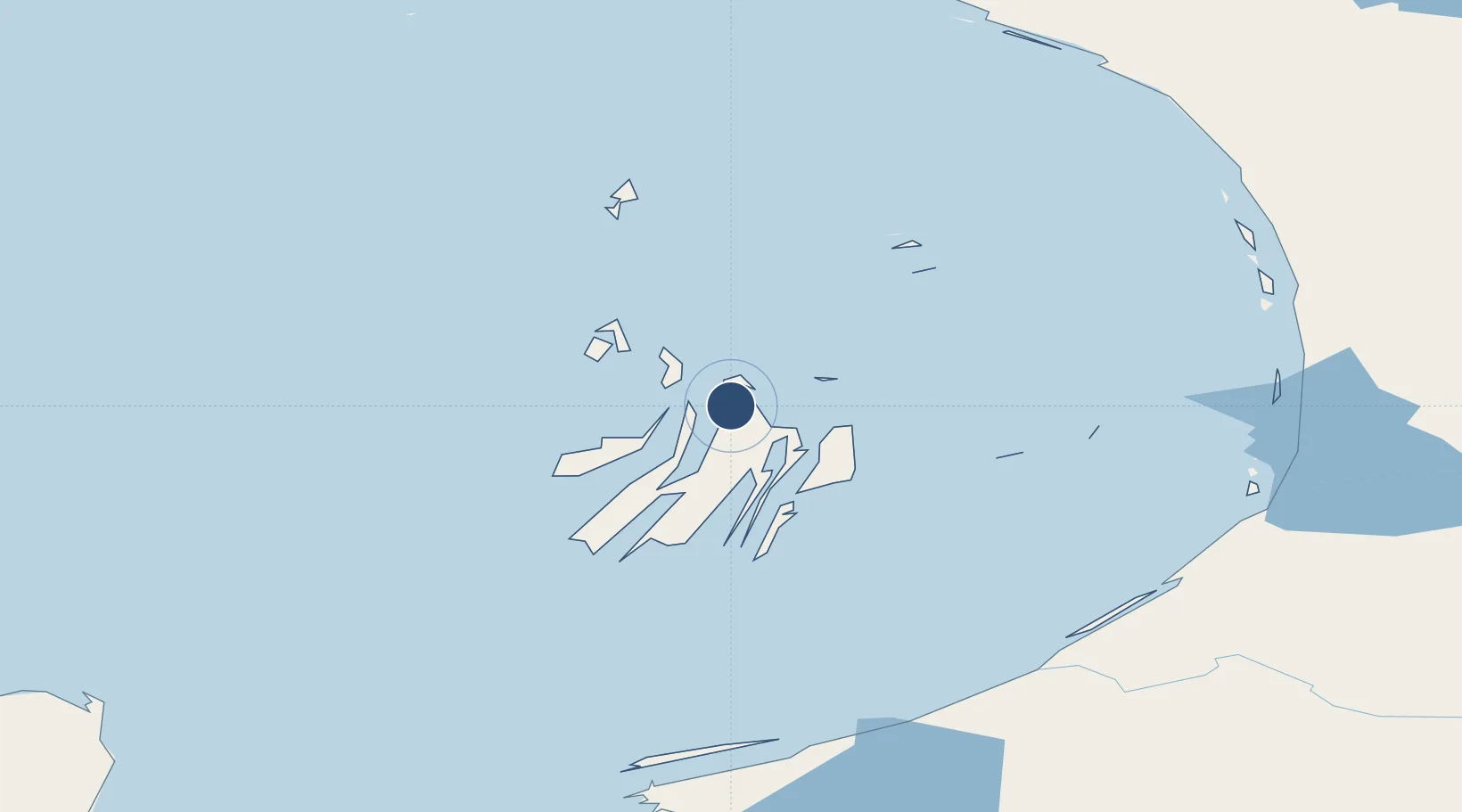
56.5369°, -79.2502°
3,800 ft
Longest runway
1
Runways
104 ft
Elevation
Runway & Layout

Runways · 1
| Runway | Dimensions | Surface | True heading | Lit |
|---|---|---|---|---|
| 09/27 | 3,800 × 100ft | GRAVEL | — | — |
Airport Specifications
IATA code
YSK
ICAO code
CYSK
Airport class
Small airport
Scheduled service
Yes
Runway surface
GRAVEL
Served city
Sanikiluaq
Location
Nearby Logistics Neighbours
Airports
- 1Kuujjuarapik Airport167 km
- 2Umiujaq Airport168 km
- 3Inukjuak Airport226 km
- 4Chisasibi Airport304 km
- 5La Grande Rivière Airport338 km
Cities
- 1Breezewood138 km
- 2Kovik Bay564 km
- 3Lansdowne736 km
- 4Moonbeam824 km
- 5Iroquois Falls869 km
Ports
- 1Deception Bay675 km
- 2Heron Bay997 km
- 3Michipicoten1027 km
- 4Chicoutimi (Port Saguenay)1056 km
- 5La Baie (Port Alfred)1072 km
Trade Zones
- 1FTZ No. 016 Sault Ste. Marie1172 km
- 2Québec City FTZ1210 km
- 3FTZ No. 179 Madawaska1269 km
- 4Greater Montreal Free Zone Center1288 km
- 5FTZ No. 118 Ogdensburg1341 km
DatabookThe Record of Consolidated Knowledge
Canada beyond logistics?