Medium airport · Canada
La Grande Rivière AirportCYGL
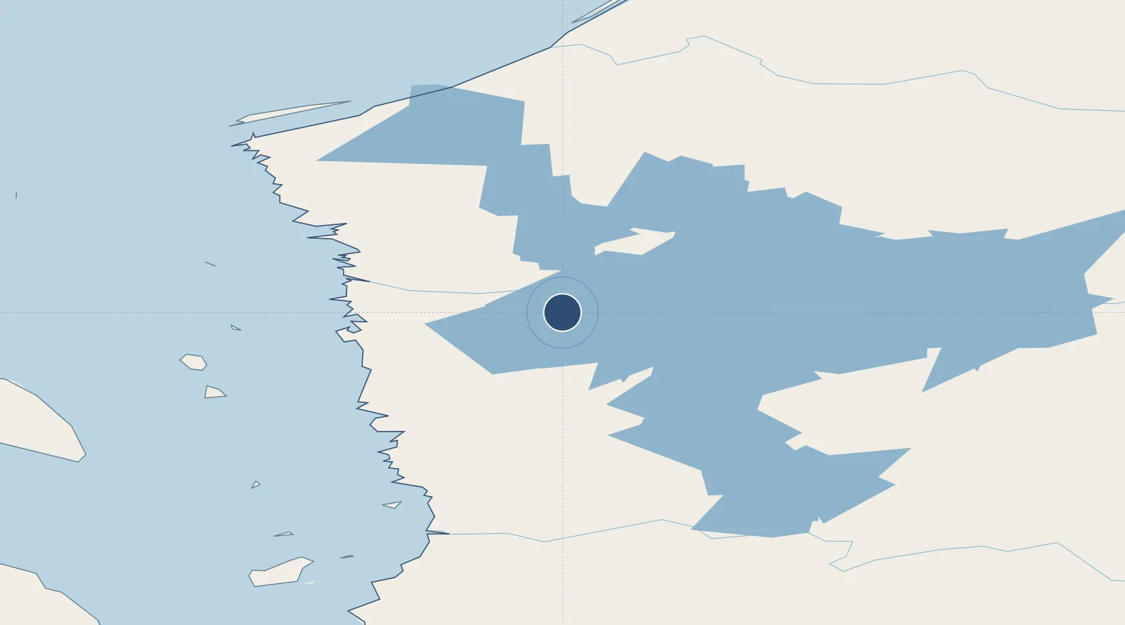
53.6253°, -77.7042°
6,500 ft
Longest runway
1
Runways
639 ft
Elevation
Runway & Layout

Radio Frequencies
A/G
122.3 MHz
MF
CNTR
132.1 MHz
MONTREAL CNTR
RCO
126.7 MHz
QUEBEC RDO
RDO
122.3 MHz
Navaids
GL NDB La Grande Riviere 201 kHz
YGL VOR-DME La Grande Riviere 112.20 MHz
Runways · 1
| Runway | Dimensions | Surface | True heading | Lit |
|---|---|---|---|---|
| 13/31 | 6,500 × 150ft | Asphalt | 113° | ✓ |
Airport Specifications
IATA code
YGL
ICAO code
CYGL
Airport class
Medium airport
Scheduled service
Yes
Runway surface
Asphalt
Served city
La Grande Rivière
Location
Nearby Logistics Neighbours
Airports
- 1Chisasibi Airport82 km
- 2Wemindji Airport101 km
- 3Eastmain River Airport165 km
- 4Kuujjuarapik Airport184 km
- 5Nemiscau Airport240 km
Cities
- 1Breezewood449 km
- 2Moonbeam568 km
- 3Iroquois Falls579 km
- 4Senneterre582 km
- 5Preissac583 km
Ports
- 1Chicoutimi (Port Saguenay)740 km
- 2La Baie (Port Alfred)757 km
- 3Michipicoten806 km
- 4Baie Comeau823 km
- 5Rimouski861 km
Trade Zones
- 1Québec City FTZ883 km
- 2FTZ No. 016 Sault Ste. Marie926 km
- 3Greater Montreal Free Zone Center950 km
- 4FTZ No. 179 Madawaska967 km
- 5FTZ No. 118 Ogdensburg1004 km
DatabookThe Record of Consolidated Knowledge
Canada beyond logistics?