Small airport · Canada
Chisasibi AirportCSU2
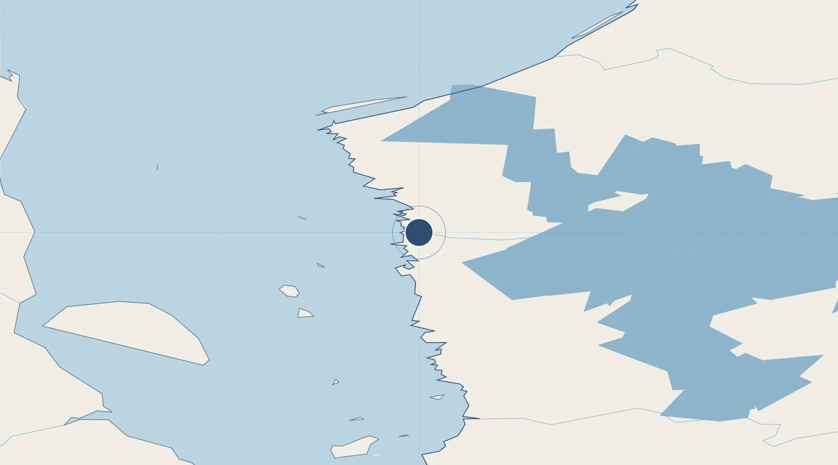
53.8056°, -78.9169°
3,792 ft
Longest runway
1
Runways
43 ft
Elevation
Runway & Layout

Runways · 1
| Runway | Dimensions | Surface | True heading | Lit |
|---|---|---|---|---|
| 14/32 | 3,792 × 100ft | GRAVEL | — | — |
Airport Specifications
IATA code
YKU
ICAO code
CSU2
Airport class
Small airport
Scheduled service
Yes
Runway surface
GRAVEL
Served city
Chisasibi
Location
Nearby Logistics Neighbours
Airports
- 1La Grande Rivière Airport82 km
- 2Wemindji Airport89 km
- 3Eastmain River Airport178 km
- 4Kuujjuarapik Airport180 km
- 5Kashechewan Airport251 km
Cities
- 1Breezewood430 km
- 2Moonbeam545 km
- 3Iroquois Falls574 km
- 4Preissac602 km
- 5Porcupine611 km
Ports
- 1Heron Bay770 km
- 2Michipicoten773 km
- 3Chicoutimi (Port Saguenay)810 km
- 4La Baie (Port Alfred)827 km
- 5Goulais Bay880 km
Trade Zones
- 1FTZ No. 016 Sault Ste. Marie903 km
- 2Québec City FTZ946 km
- 3Greater Montreal Free Zone Center999 km
- 4FTZ No. 179 Madawaska1040 km
- 5FTZ No. 118 Ogdensburg1041 km
DatabookThe Record of Consolidated Knowledge
Canada beyond logistics?