Transport Functions
Rail
Road
Multimodal
Hub Profile
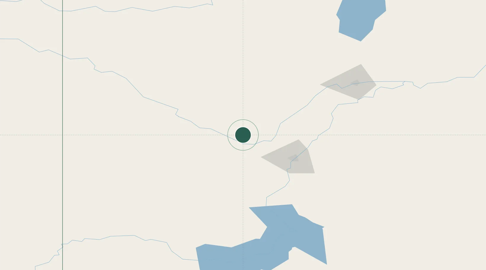
Place type
Populated place
Region
Saskatchewan
Time zone
America/Regina
Elevation
523 m
Location
Nearby Logistics Neighbours
Ports
- 1Churchill1083 km
- 2Mission City1105 km
- 3Port Coquitlam1135 km
- 4Port Moody1140 km
- 5Bellingham1140 km
Airports
Trade Zones
- 1Global Transportation Hub Authority290 km
- 2Port Alberta - Edmonton FTZ417 km
- 3Calgary Region Inland Port485 km
- 4FTZ No. 187 Toole County551 km
- 5FTZ No. 088 Great Falls623 km
DatabookThe Record of Consolidated Knowledge
Canada beyond logistics?