Transport Functions
Rail
Road
Hub Profile
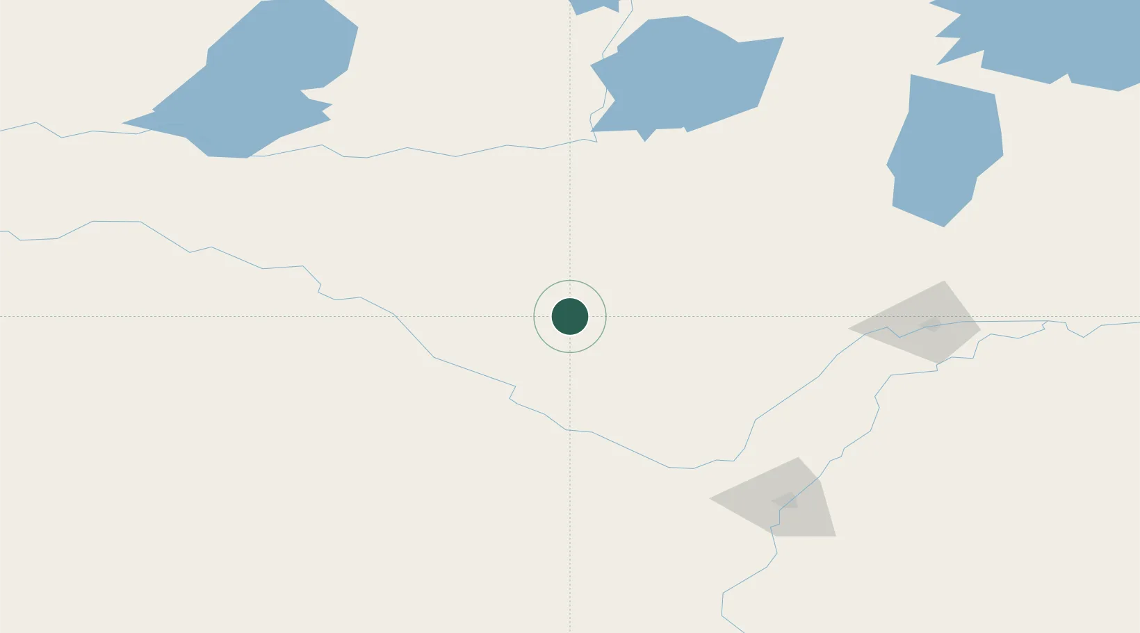
Place type
Populated place
Region
Saskatchewan
Time zone
America/Regina
Elevation
689 m
Location
Nearby Logistics Neighbours
Cities
- 1Battleford59 km
- 2Radisson98 km
- 3Shellbrook108 km
- 4Waldheim116 km
- 5Elrose119 km
Ports
- 1Churchill1051 km
- 2Mission City1091 km
- 3Port Coquitlam1119 km
- 4Port Moody1123 km
- 5Fraser Mills1125 km
Airports
Trade Zones
- 1Port Alberta - Edmonton FTZ355 km
- 2Global Transportation Hub Authority385 km
- 3Calgary Region Inland Port481 km
- 4FTZ No. 187 Toole County599 km
- 5FTZ No. 088 Great Falls685 km
DatabookThe Record of Consolidated Knowledge
Canada beyond logistics?