Transport Functions
Road
Multimodal
Hub Profile
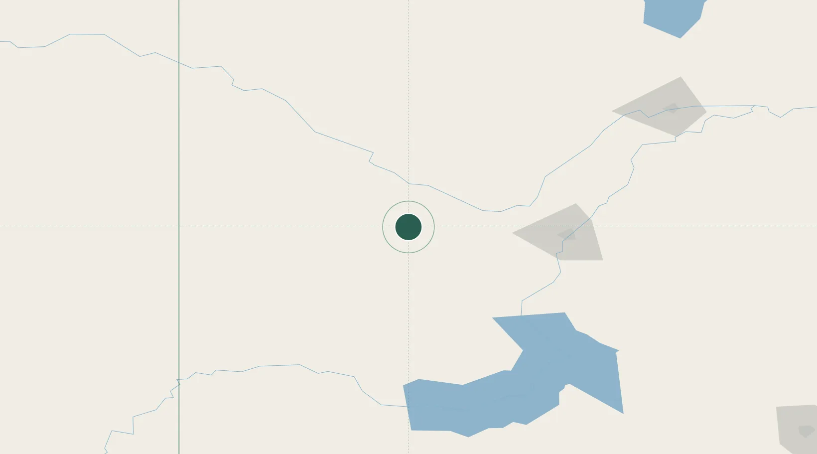
Place type
Populated place
Region
Saskatchewan
Time zone
America/Regina
Elevation
625 m
Location
Nearby Logistics Neighbours
Cities
- 1Perdue38 km
- 2Radisson52 km
- 3Asquith57 km
- 4Battleford66 km
- 5Rosetown72 km
Ports
- 1Mission City1056 km
- 2Port Coquitlam1086 km
- 3Bellingham1091 km
- 4Port Moody1092 km
- 5Fraser Mills1093 km
Airports
Trade Zones
- 1Global Transportation Hub Authority300 km
- 2Port Alberta - Edmonton FTZ389 km
- 3Calgary Region Inland Port436 km
- 4FTZ No. 187 Toole County501 km
- 5FTZ No. 088 Great Falls576 km
DatabookThe Record of Consolidated Knowledge
Canada beyond logistics?