Transport Functions
Port
Road
Hub Profile
Place type
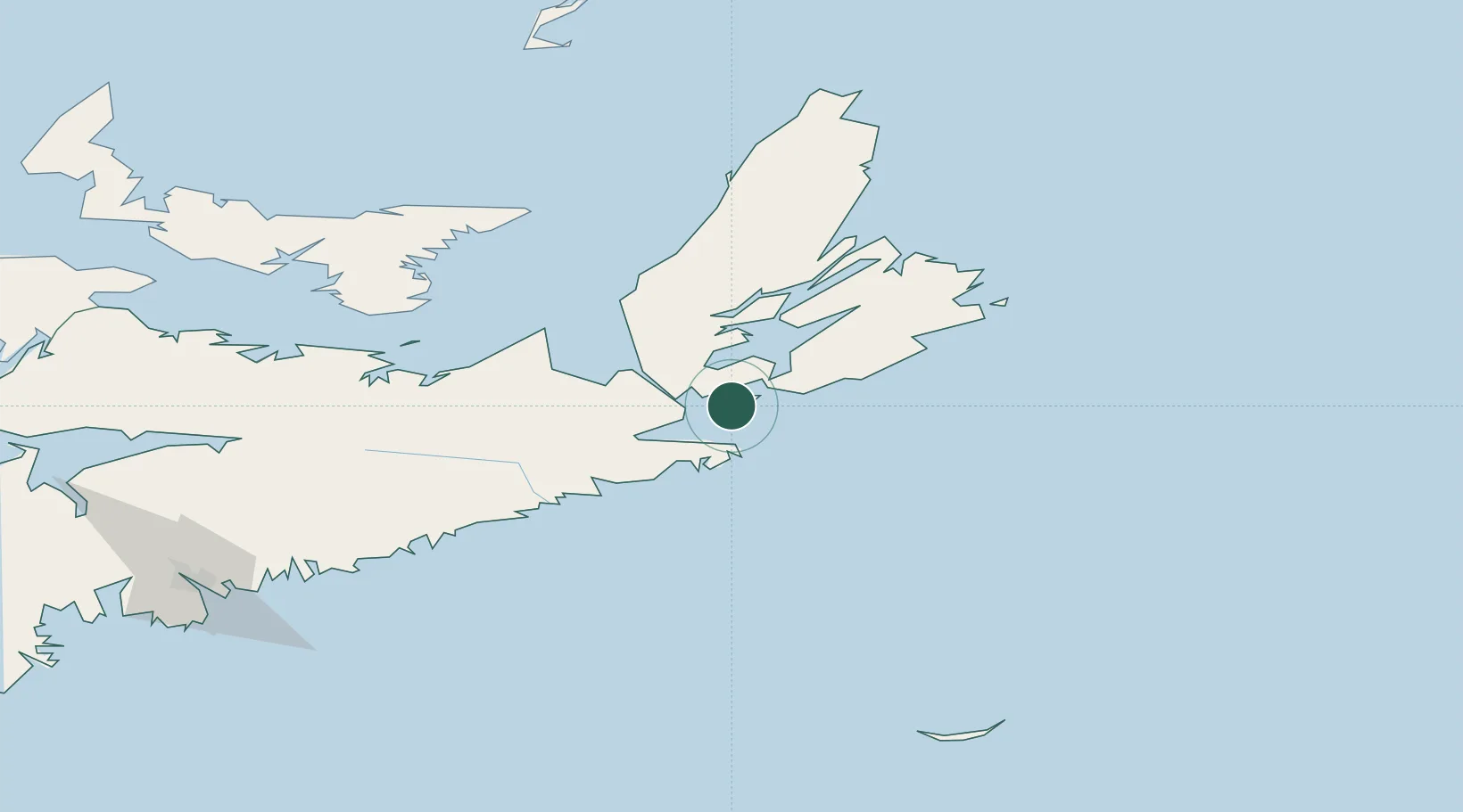
Populated place
Region
Nova Scotia
Time zone
America/Halifax
Elevation
25 m
Location
Nearby Logistics Neighbours
Cities
- 1Saint-Peters19 km
- 2Canso20 km
- 3Point Tupper29 km
- 4Orangedale43 km
- 5Stormont65 km
Ports
- 1Port Hawkesbury29 km
- 2Port Hastings33 km
- 3Goldsboro62 km
- 4Stormont64 km
- 5Louisbourg93 km
Airports
Trade Zones
- 1Cape Breton Regional Municipality Foreign Trade Zone75 km
- 2Halifax Gateway223 km
- 3Saint John395 km
- 4FTZ No. 179 Madawaska595 km
- 5FTZ No. 058 Bangor616 km
DatabookThe Record of Consolidated Knowledge
Canada beyond logistics?