UN/LOCODE hub · Canada
CASRS

Saint-Peters

45.6500°, -60.8667°
2
Transport functions

Transport Functions

Port
Road
UN/LOCODE

Hub Profile

Region
NS
GeoNames

Location

Location of CASRS
Natural Earth 10m (public domain) · NS · CASRS · 45.65, -60.87GoogleOSMYandex

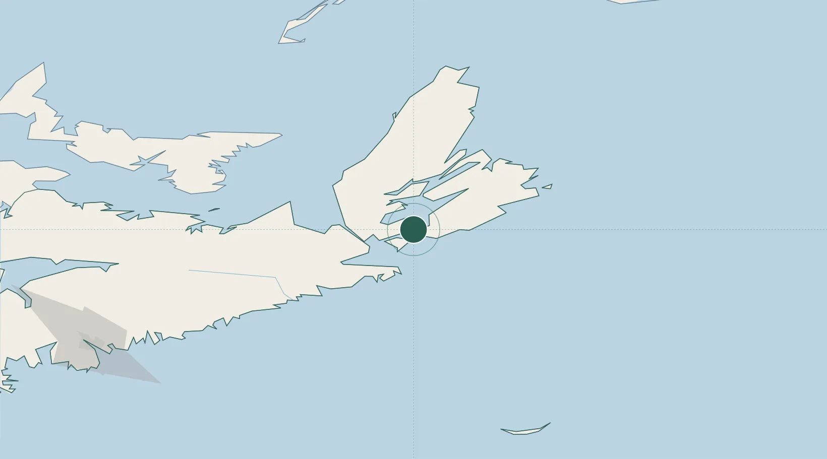
Nearby Logistics Neighbours

Cities
  1. 1Arichat19 km
  2. 2Orangedale33 km
  3. 3Canso37 km
  4. 4Point Tupper39 km
  5. 5Mabou61 km
Nearest neighbours — logibook spatial index (haversine) over the source coordinates
Ports
  1. 1Port Hawkesbury39 km
  2. 2Port Hastings42 km
  3. 3Louisbourg76 km
  4. 4Sydney76 km
  5. 5North Sydney79 km
Nearest neighbours — logibook spatial index (haversine) over the source coordinates
Airports
  1. 1Port Hawkesbury Airport39 km
  2. 2Sydney / J.A. Douglas McCurdy Airport85 km
  3. 3Charlottetown Airport188 km
  4. 4Fox Harbour Airport203 km
  5. 5Îles-de-la-Madeleine Airport209 km
Nearest neighbours — logibook spatial index (haversine) over the source coordinates
Trade Zones
  1. 1Cape Breton Regional Municipality Foreign Trade Zone58 km
  2. 2Halifax Gateway240 km
  3. 3Saint John408 km
  4. 4Crossroads Business Park599 km
  5. 5FTZ No. 179 Madawaska600 km
Nearest neighbours — logibook spatial index (haversine) over the source coordinates
DatabookThe Record of Consolidated Knowledge
Canada beyond logistics?
Browse databook

All Sources

LocationsUN/LOCODE
UN/LOCODE — free
Portsthe NGA World Port Index
Public domain (US gov)
AirportsOurAirports
Public domain
Trade Zonesthe World Bank SEZ database
CC BY 4.0
Trade ZonesOpen Zone Map
CC BY
← Canada locations