Transport Functions
Port
Road
Hub Profile
Place type
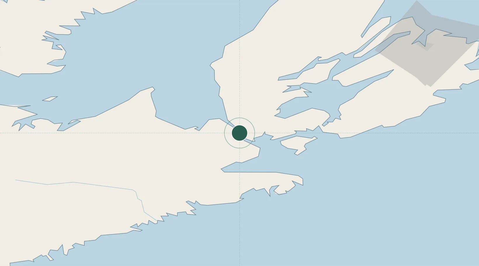
Populated place
Region
Nova Scotia
Time zone
America/Halifax
Elevation
11 m
Location
Nearby Logistics Neighbours
Cities
- 1Arichat29 km
- 2Orangedale39 km
- 3Saint-Peters39 km
- 4Canso41 km
- 5Stormont51 km
Ports
- 1Port Hawkesbury2 km
- 2Port Hastings6 km
- 3Stormont51 km
- 4Goldsboro51 km
- 5Pictou105 km
Airports
Trade Zones
- 1Cape Breton Regional Municipality Foreign Trade Zone79 km
- 2Halifax Gateway203 km
- 3Saint John369 km
- 4FTZ No. 179 Madawaska566 km
- 5FTZ No. 058 Bangor590 km
DatabookThe Record of Consolidated Knowledge
Canada beyond logistics?