Transport Functions
Rail
Road
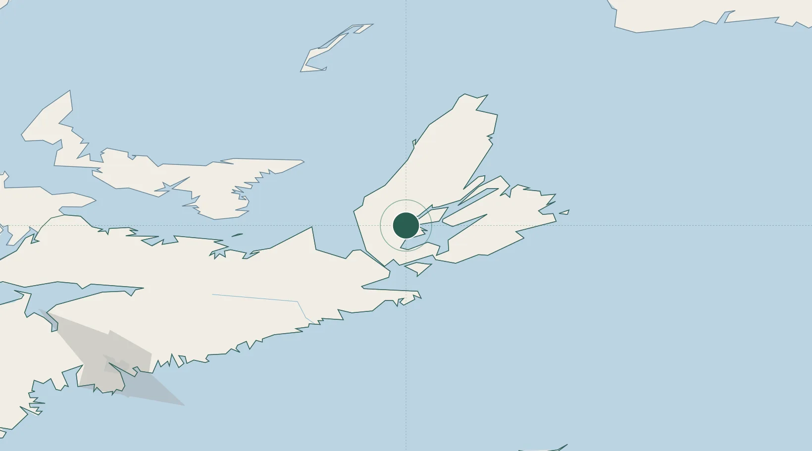
Hub Profile
Place type
Populated place
Region
Nova Scotia
Time zone
America/Halifax
Elevation
17 m
Location
Nearby Logistics Neighbours
Cities
- 1Mabou29 km
- 2Saint-Peters33 km
- 3Point Tupper39 km
- 4Arichat43 km
- 5Neil's Harbour58 km
Ports
- 1Port Hastings36 km
- 2Port Hawkesbury38 km
- 3North Sydney74 km
- 4Sydney75 km
- 5Louisbourg88 km
Airports
- 1Port Hawkesbury Airport34 km
- 2Sydney / J.A. Douglas McCurdy Airport86 km
- 3Charlottetown Airport162 km
- 4Îles-de-la-Madeleine Airport177 km
- 5Fox Harbour Airport183 km
Trade Zones
- 1Cape Breton Regional Municipality Foreign Trade Zone40 km
- 2Halifax Gateway239 km
- 3Saint John393 km
- 4FTZ No. 179 Madawaska574 km
- 5Crossroads Business Park596 km
DatabookThe Record of Consolidated Knowledge
Canada beyond logistics?