Small airport · Greenland
Upernavik AirportBGUK
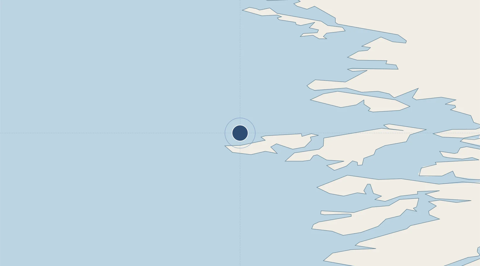
72.7902°, -56.1306°
2,621 ft
Longest runway
1
Runways
414 ft
Elevation
Runway & Layout

Radio Frequencies
AFIS
118.1 MHz
Upernavik AFIS
Navaids
UP NDB Upernavik 399 kHz
Runways · 1
| Runway | Dimensions | Surface | True heading | Lit |
|---|---|---|---|---|
| 05/23 | 2,621 × 98ft | Asphalt | — | ✓ |
Airport Specifications
IATA code
JUV
ICAO code
BGUK
Airport class
Small airport
Scheduled service
Yes
Runway surface
Asphalt
Served city
Upernavik
Location
Nearby Logistics Neighbours
Airports
- 1Aappilattoq Heliport21 km
- 2Innarsuit Heliport46 km
- 3Kangersuatsiaq Heliport50 km
- 4Tasiusaq Heliport65 km
- 5Upernavik Kujalleq Heliport74 km
Cities
- 1Kullorsuaq202 km
- 2Maarmorliik248 km
- 3Kangerlussuaq Havn677 km
- 4Seqi Olivine Mine888 km
- 5Toqqusaq895 km
Ports
- 1Kajalleq Upernavik74 km
- 2Marmorilik249 km
- 3Uummannaq274 km
- 4Qeqertarsuaq406 km
- 5Illulissat (Jakobshavn)437 km
Trade Zones
- 1Crossroads Business Park2652 km
- 2FTZ No. 179 Madawaska2903 km
- 3Cape Breton Regional Municipality Foreign Trade Zone2970 km
- 4Québec City FTZ2987 km
- 5Saint John3103 km
DatabookThe Record of Consolidated Knowledge
Greenland beyond logistics?