Runway & Layout

Airport Specifications
IATA code
TQA
ICAO code
BGTA
Airport class
Heliport
Scheduled service
Yes
Served city
Tasiusaq
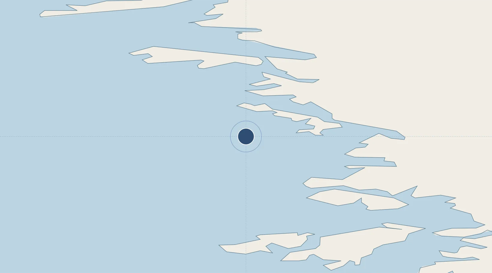
Location
Nearby Logistics Neighbours
Airports
- 1Innarsuit Heliport19 km
- 2Aappilattoq Heliport56 km
- 3Upernavik Airport65 km
- 4Kangersuatsiaq Heliport112 km
- 5Upernavik Kujalleq Heliport137 km
Cities
- 1Kullorsuaq139 km
- 2Maarmorliik297 km
- 3Kangerlussuaq Havn738 km
- 4Suursaq865 km
- 5Seqi Olivine Mine951 km
Ports
- 1Kajalleq Upernavik137 km
- 2Marmorilik297 km
- 3Uummannaq330 km
- 4Qeqertarsuaq469 km
- 5Illulissat (Jakobshavn)495 km
Trade Zones
- 1Crossroads Business Park2717 km
- 2FTZ No. 179 Madawaska2965 km
- 3Cape Breton Regional Municipality Foreign Trade Zone3034 km
- 4Québec City FTZ3048 km
- 5Saint John3166 km
DatabookThe Record of Consolidated Knowledge
Greenland beyond logistics?