Runway & Layout
Airport Specifications
IATA code
KGQ
ICAO code
BGKS
Airport class
Heliport
Scheduled service
Yes
Served city
Kangersuatsiaq
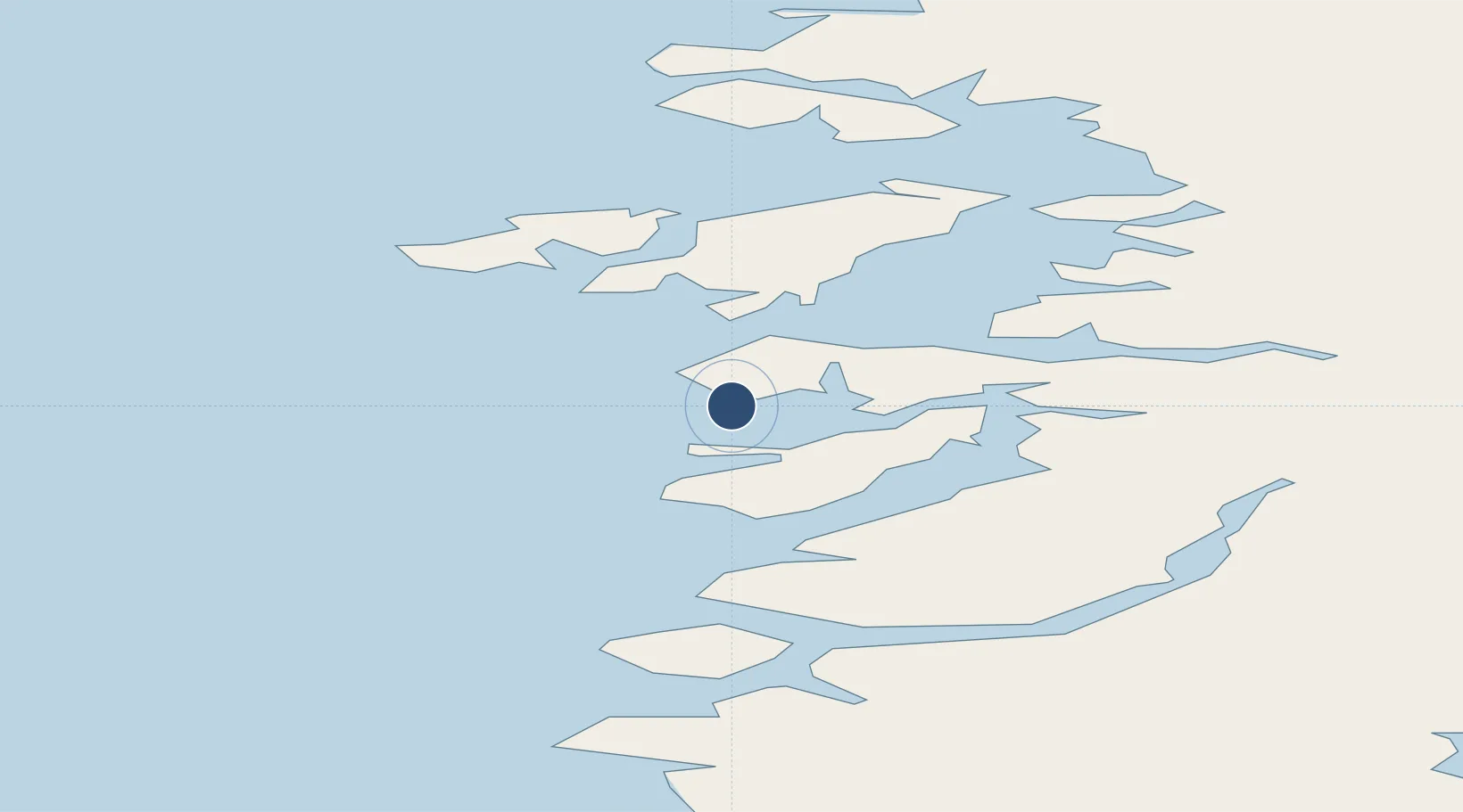
Location
Nearby Logistics Neighbours
Airports
- 1Upernavik Kujalleq Heliport25 km
- 2Upernavik Airport50 km
- 3Aappilattoq Heliport56 km
- 4Innarsuit Heliport92 km
- 5Tasiusaq Heliport112 km
Cities
- 1Maarmorliik203 km
- 2Kullorsuaq250 km
- 3Kangerlussuaq Havn627 km
- 4Seqi Olivine Mine840 km
- 5Toqqusaq846 km
Ports
- 1Kajalleq Upernavik26 km
- 2Marmorilik203 km
- 3Uummannaq226 km
- 4Qeqertarsuaq358 km
- 5Illulissat (Jakobshavn)387 km
Trade Zones
- 1Crossroads Business Park2606 km
- 2FTZ No. 179 Madawaska2867 km
- 3Cape Breton Regional Municipality Foreign Trade Zone2927 km
- 4Québec City FTZ2954 km
- 5Saint John3064 km
DatabookThe Record of Consolidated Knowledge
Greenland beyond logistics?