Transport Functions
Port
Road
Hub Profile
Place type
Populated place
Region
Avannaata
Population
453
Time zone
America/Nuuk
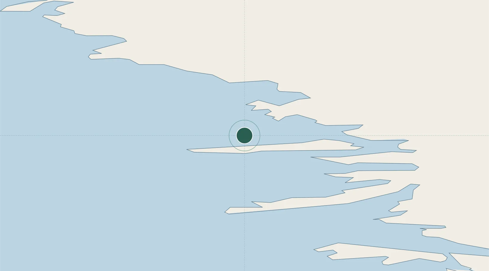
Location
Nearby Logistics Neighbours
Cities
- 1Maarmorliik429 km
- 2Suursaq726 km
- 3Kangerlussuaq Havn876 km
- 4Seqi Olivine Mine1090 km
- 5Toqqusaq1097 km
Ports
- 1Kajalleq Upernavik276 km
- 2Pituffik (Thule Air Base)388 km
- 3Marmorilik430 km
- 4Uummannaq467 km
- 5Qeqertarsuaq608 km
Airports
- 1Tasiusaq Heliport139 km
- 2Innarsuit Heliport158 km
- 3Aappilattoq Heliport195 km
- 4Upernavik Airport202 km
- 5Kangersuatsiaq Heliport250 km
Trade Zones
- 1Crossroads Business Park2853 km
- 2FTZ No. 179 Madawaska3083 km
- 3Québec City FTZ3160 km
- 4Cape Breton Regional Municipality Foreign Trade Zone3165 km
- 5Saint John3288 km
DatabookThe Record of Consolidated Knowledge
Greenland beyond logistics?