Runway & Layout

Airport Specifications
IATA code
AOQ
ICAO code
BGAG
Airport class
Heliport
Scheduled service
Yes
Served city
Aappilattoq
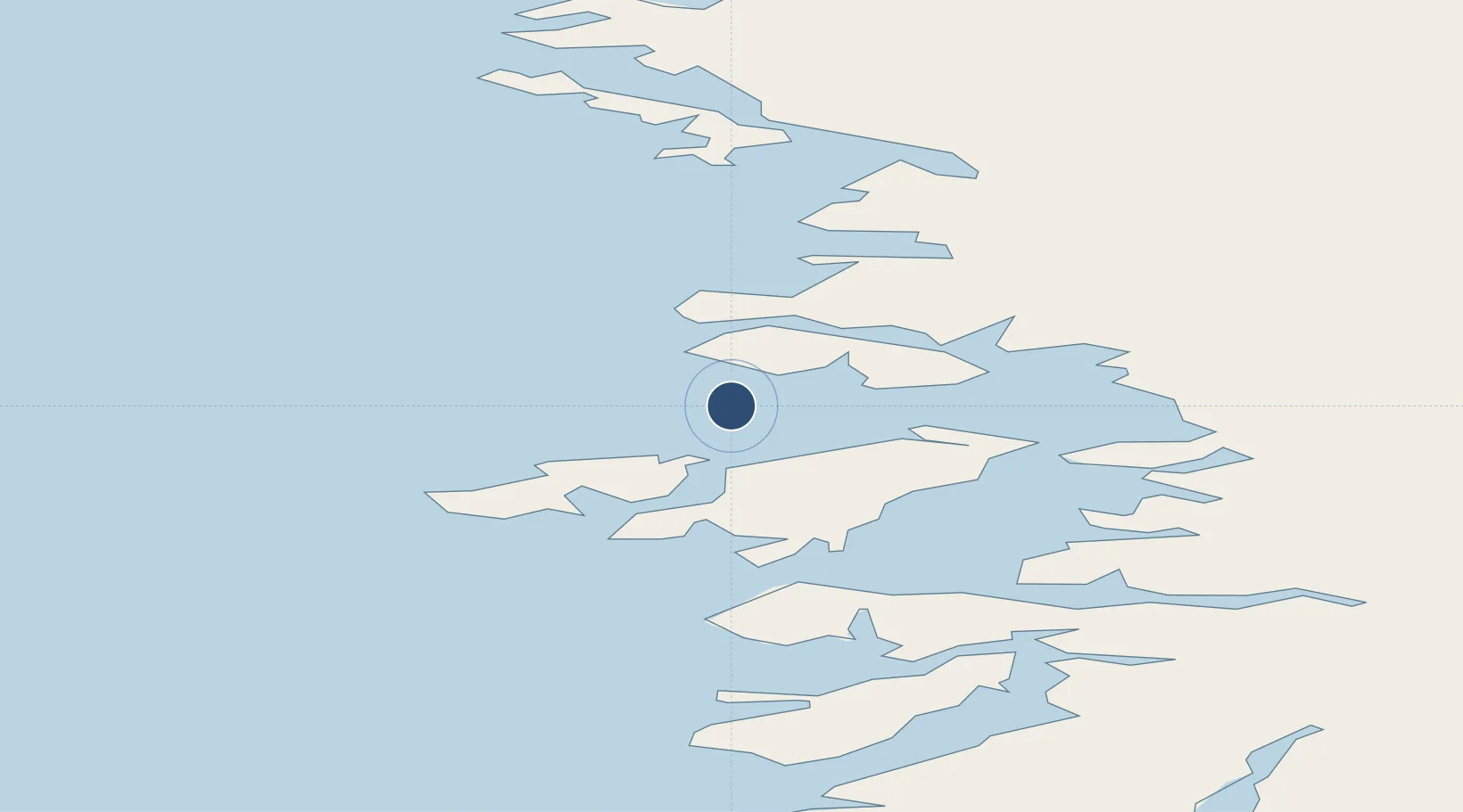
Location
Nearby Logistics Neighbours
Airports
- 1Upernavik Airport21 km
- 2Innarsuit Heliport37 km
- 3Tasiusaq Heliport56 km
- 4Kangersuatsiaq Heliport56 km
- 5Upernavik Kujalleq Heliport82 km
Cities
- 1Kullorsuaq195 km
- 2Maarmorliik245 km
- 3Kangerlussuaq Havn681 km
- 4Seqi Olivine Mine895 km
- 5Toqqusaq902 km
Ports
- 1Kajalleq Upernavik82 km
- 2Marmorilik245 km
- 3Uummannaq275 km
- 4Qeqertarsuaq413 km
- 5Illulissat (Jakobshavn)439 km
Trade Zones
- 1Crossroads Business Park2663 km
- 2FTZ No. 179 Madawaska2919 km
- 3Cape Breton Regional Municipality Foreign Trade Zone2983 km
- 4Québec City FTZ3004 km
- 5Saint John3118 km
DatabookThe Record of Consolidated Knowledge
Greenland beyond logistics?