Runway & Layout

Airport Specifications
IATA code
IUI
ICAO code
BGIN
Airport class
Heliport
Scheduled service
Yes
Served city
Innarsuit
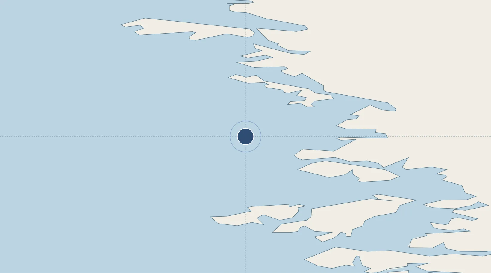
Location
Nearby Logistics Neighbours
Airports
- 1Tasiusaq Heliport19 km
- 2Aappilattoq Heliport37 km
- 3Upernavik Airport46 km
- 4Kangersuatsiaq Heliport92 km
- 5Upernavik Kujalleq Heliport118 km
Cities
- 1Kullorsuaq158 km
- 2Maarmorliik280 km
- 3Kangerlussuaq Havn719 km
- 4Suursaq884 km
- 5Seqi Olivine Mine932 km
Ports
- 1Kajalleq Upernavik118 km
- 2Marmorilik281 km
- 3Uummannaq312 km
- 4Qeqertarsuaq450 km
- 5Illulissat (Jakobshavn)476 km
Trade Zones
- 1Crossroads Business Park2698 km
- 2FTZ No. 179 Madawaska2947 km
- 3Cape Breton Regional Municipality Foreign Trade Zone3016 km
- 4Québec City FTZ3031 km
- 5Saint John3148 km
DatabookThe Record of Consolidated Knowledge
Greenland beyond logistics?