Runway & Layout

Airport Specifications
IATA code
QUV
ICAO code
BGAQ
Airport class
Heliport
Scheduled service
Yes
Served city
Aappilattoq
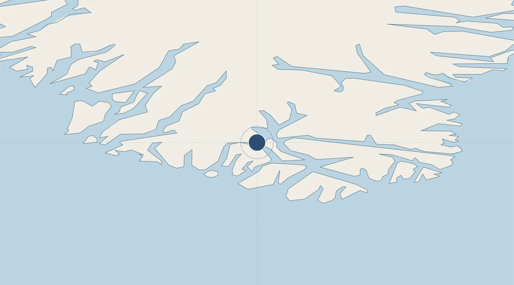
Location
Nearby Logistics Neighbours
Airports
- 1Narsarmijit Heliport26 km
- 2Tasiusaq Heliport30 km
- 3Nanortalik Heliport52 km
- 4Ammassivik Heliport78 km
- 5Alluitsup Paa Heliport79 km
Cities
- 1Nalunaq Gold Mine40 km
- 2Beauly303 km
- 3Nuuk (Godthaab)592 km
- 4Seqi Olivine Mine652 km
- 5Toqqusaq663 km
Ports
- 1Nanortalik Havn51 km
- 2Qaqortoq115 km
- 3Narsarssuaq128 km
- 4Narsaq129 km
- 5Gronnedal (Kangilinnguit)240 km
Trade Zones
- 1Crossroads Business Park1408 km
- 2Cape Breton Regional Municipality Foreign Trade Zone1892 km
- 3FTZ No. 179 Madawaska2112 km
- 4Halifax Gateway2147 km
- 5Saint John2190 km
DatabookThe Record of Consolidated Knowledge
Greenland beyond logistics?