Runway & Layout

Airport Specifications
IATA code
JUU
ICAO code
BGNQ
Airport class
Heliport
Scheduled service
Yes
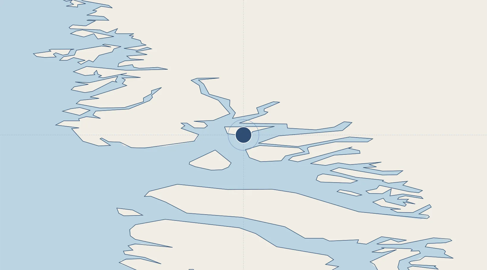
Served city
Nuugaatsiaq
Location
Nearby Logistics Neighbours
Airports
- 1Illorsuit Heliport35 km
- 2Ukkusissat Heliport72 km
- 3Niaqornat Heliport85 km
- 4Qaarsut Airport91 km
- 5Saattut Heliport99 km
Cities
- 1Maarmorliik82 km
- 2Kullorsuaq362 km
- 3Kangerlussuaq Havn516 km
- 4Seqi Olivine Mine734 km
- 5Toqqusaq743 km
Ports
- 1Marmorilik82 km
- 2Uummannaq105 km
- 3Kajalleq Upernavik106 km
- 4Qeqertarsuaq257 km
- 5Illulissat (Jakobshavn)270 km
Trade Zones
- 1Crossroads Business Park2513 km
- 2FTZ No. 179 Madawaska2811 km
- 3Cape Breton Regional Municipality Foreign Trade Zone2849 km
- 4Québec City FTZ2906 km
- 5Saint John3000 km
DatabookThe Record of Consolidated Knowledge
Greenland beyond logistics?