Heliport · Greenland
Kangilinnguit HeliportBGGD
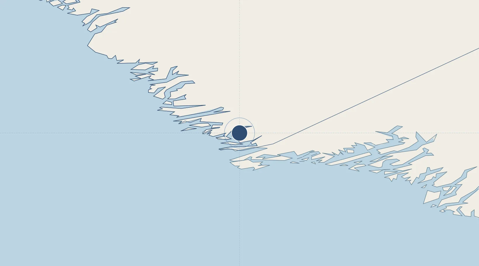
61.2290°, -48.0970°
197 ft
Longest runway
1
Runways
101 ft
Elevation
Runway & Layout

Runways · 1
| Runway | Dimensions | Surface | True heading | Lit |
|---|---|---|---|---|
| H1 | 197 × 197ft | Asphalt | — | — |
Airport Specifications
IATA code
JGR
ICAO code
BGGD
Airport class
Heliport
Scheduled service
Yes
Runway surface
Asphalt
Served city
Kangilinnguit
Location
Nearby Logistics Neighbours
Airports
- 1Qassimiut Heliport71 km
- 2Narsaq Heliport115 km
- 3Paamiut Airport121 km
- 4Qaqortoq Heliport125 km
- 5Saarloq Heliport136 km
Cities
- 1Nalunaq Gold Mine200 km
- 2Nuuk (Godthaab)378 km
- 3Seqi Olivine Mine451 km
- 4Toqqusaq454 km
- 5Beauly498 km
Ports
- 1Gronnedal (Kangilinnguit)1 km
- 2Narsaq115 km
- 3Paamuit (Frederikshab)119 km
- 4Qaqortoq125 km
- 5Narsarssuaq143 km
Trade Zones
- 1Crossroads Business Park1425 km
- 2Cape Breton Regional Municipality Foreign Trade Zone1863 km
- 3FTZ No. 179 Madawaska2016 km
- 4Halifax Gateway2103 km
- 5Saint John2124 km
DatabookThe Record of Consolidated Knowledge
Greenland beyond logistics?