Runway & Layout

Airport Specifications
IATA code
JJU
ICAO code
BGJH
Airport class
Heliport
Scheduled service
Yes
Served city
Qaqortoq
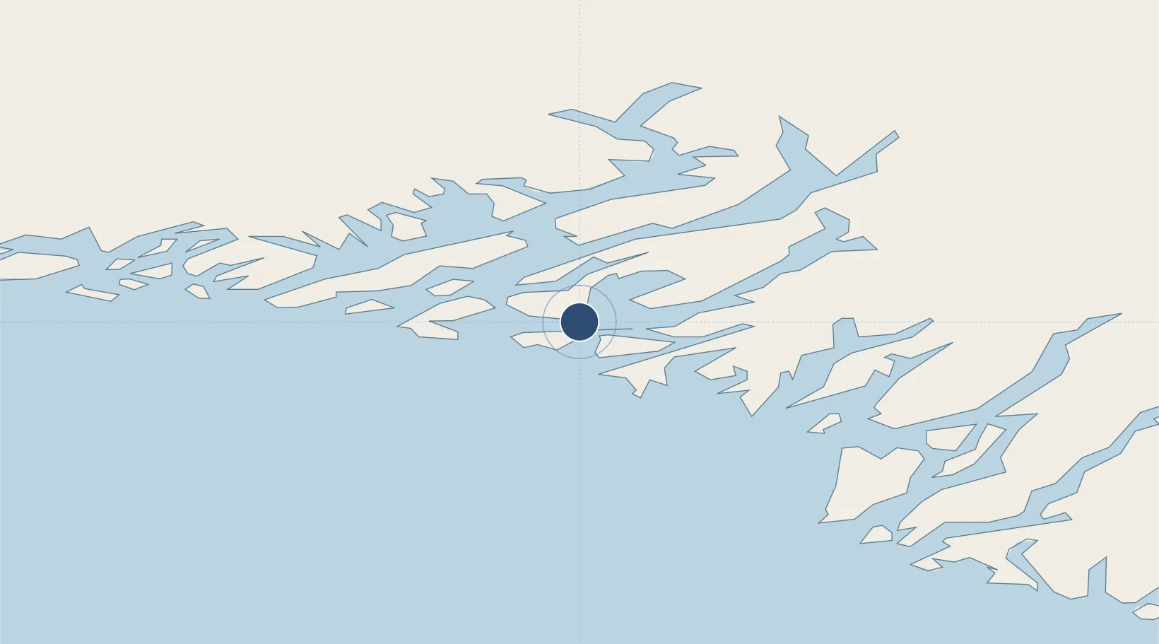
Location
Nearby Logistics Neighbours
Airports
- 1Eqalugaarsuit Heliport12 km
- 2Saarloq Heliport20 km
- 3Narsaq Heliport23 km
- 4Alluitsup Paa Heliport38 km
- 5Ammassivik Heliport38 km
Cities
- 1Nalunaq Gold Mine75 km
- 2Beauly393 km
- 3Nuuk (Godthaab)485 km
- 4Seqi Olivine Mine550 km
- 5Toqqusaq558 km
Ports
- 1Qaqortoq0 km
- 2Narsaq22 km
- 3Narsarssuaq58 km
- 4Nanortalik Havn81 km
- 5Gronnedal (Kangilinnguit)126 km
Trade Zones
- 1Crossroads Business Park1416 km
- 2Cape Breton Regional Municipality Foreign Trade Zone1879 km
- 3FTZ No. 179 Madawaska2068 km
- 4Halifax Gateway2128 km
- 5Saint John2160 km
DatabookThe Record of Consolidated Knowledge
Greenland beyond logistics?