Runway & Layout

Airport Specifications
IATA code
QFG
ICAO code
BGET
Airport class
Heliport
Scheduled service
Yes
Served city
Eqalugaarsuit
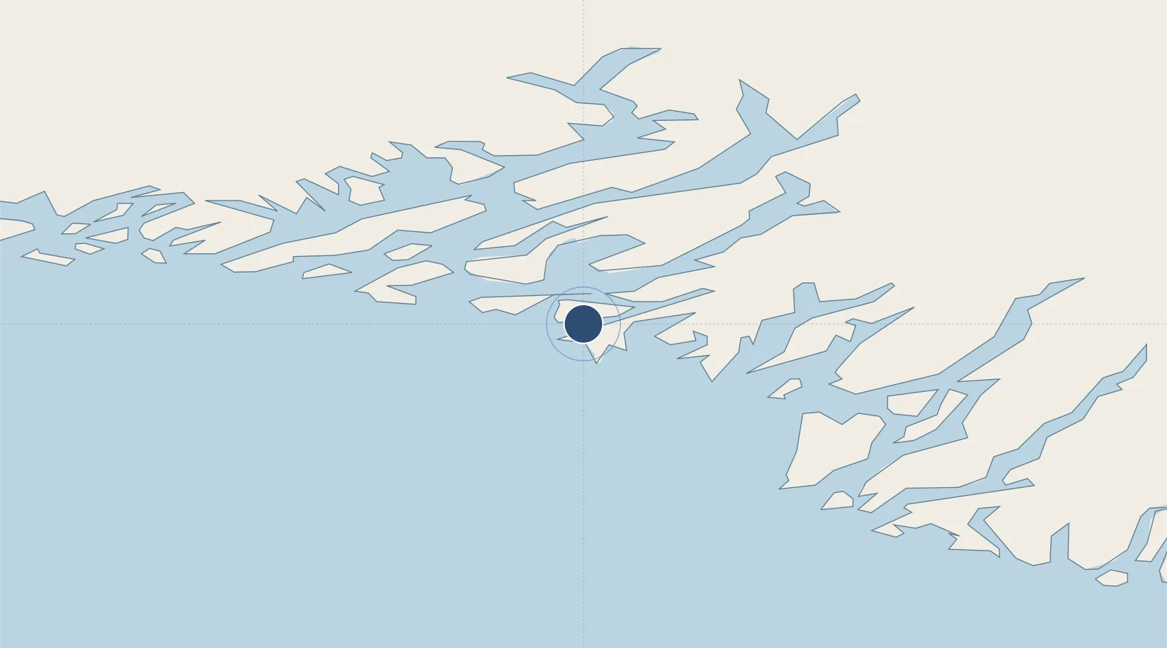
Location
Nearby Logistics Neighbours
Airports
- 1Saarloq Heliport11 km
- 2Qaqortoq Heliport12 km
- 3Alluitsup Paa Heliport26 km
- 4Ammassivik Heliport29 km
- 5Narsaq Heliport34 km
Cities
- 1Nalunaq Gold Mine63 km
- 2Beauly380 km
- 3Nuuk (Godthaab)497 km
- 4Seqi Olivine Mine562 km
- 5Toqqusaq570 km
Ports
- 1Qaqortoq13 km
- 2Narsaq34 km
- 3Narsarssuaq64 km
- 4Nanortalik Havn68 km
- 5Gronnedal (Kangilinnguit)136 km
Trade Zones
- 1Crossroads Business Park1409 km
- 2Cape Breton Regional Municipality Foreign Trade Zone1875 km
- 3FTZ No. 179 Madawaska2067 km
- 4Halifax Gateway2124 km
- 5Saint John2158 km
DatabookThe Record of Consolidated Knowledge
Greenland beyond logistics?