Runway & Layout

Airport Specifications
IATA code
QFX
ICAO code
BGIO
Airport class
Heliport
Scheduled service
Yes
Served city
Igaliku
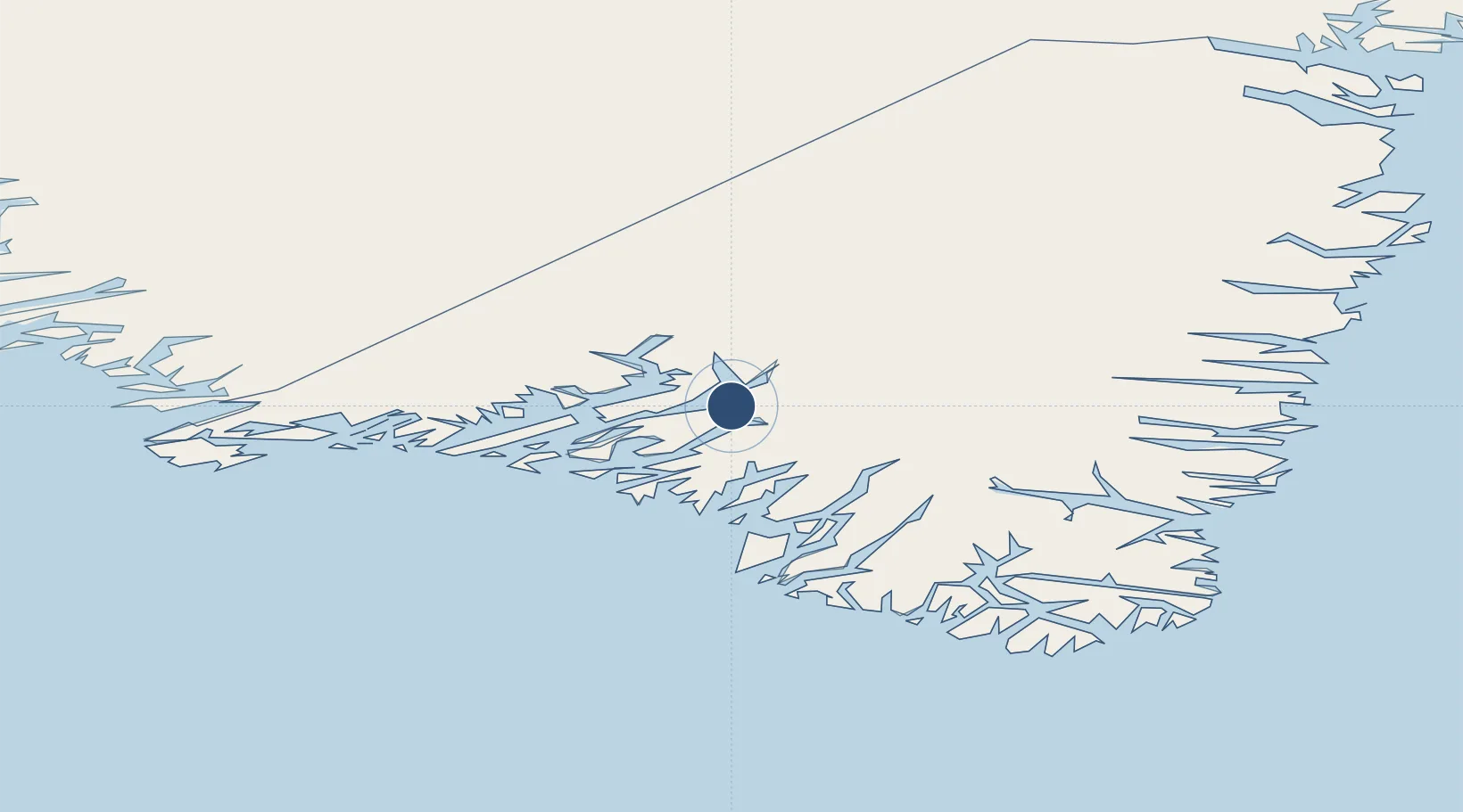
Location
Nearby Logistics Neighbours
Airports
- 1Narsarsuaq Airport19 km
- 2Narsaq Heliport35 km
- 3Ammassivik Heliport44 km
- 4Qaqortoq Heliport45 km
- 5Eqalugaarsuit Heliport49 km
Cities
- 1Nalunaq Gold Mine80 km
- 2Beauly410 km
- 3Nuuk (Godthaab)480 km
- 4Seqi Olivine Mine539 km
- 5Toqqusaq550 km
Ports
- 1Narsarssuaq18 km
- 2Narsaq34 km
- 3Qaqortoq45 km
- 4Nanortalik Havn98 km
- 5Gronnedal (Kangilinnguit)146 km
Trade Zones
- 1Crossroads Business Park1458 km
- 2Cape Breton Regional Municipality Foreign Trade Zone1923 km
- 3FTZ No. 179 Madawaska2112 km
- 4Halifax Gateway2172 km
- 5Saint John2205 km
DatabookThe Record of Consolidated Knowledge
Greenland beyond logistics?